Click ![]() in the top-right of the slider to make it full screen.
in the top-right of the slider to make it full screen.
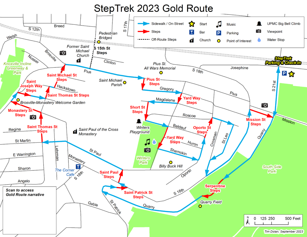
If joining from the Black Route, start here. * denotes historical or significant site
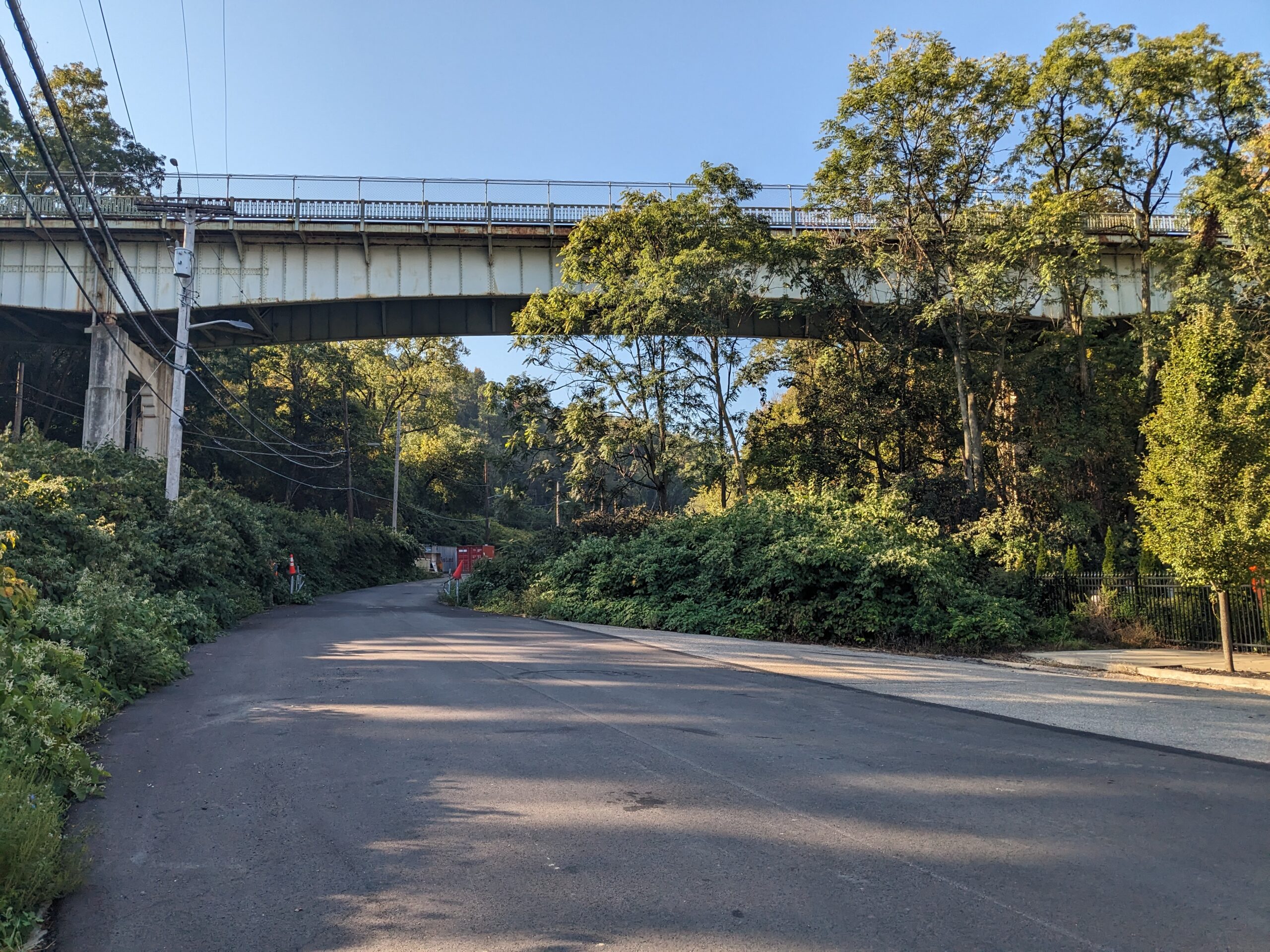
Exit parking area and make left onto S. 21st St. Walk under Mission St. Bridge and continue into South Side Park.
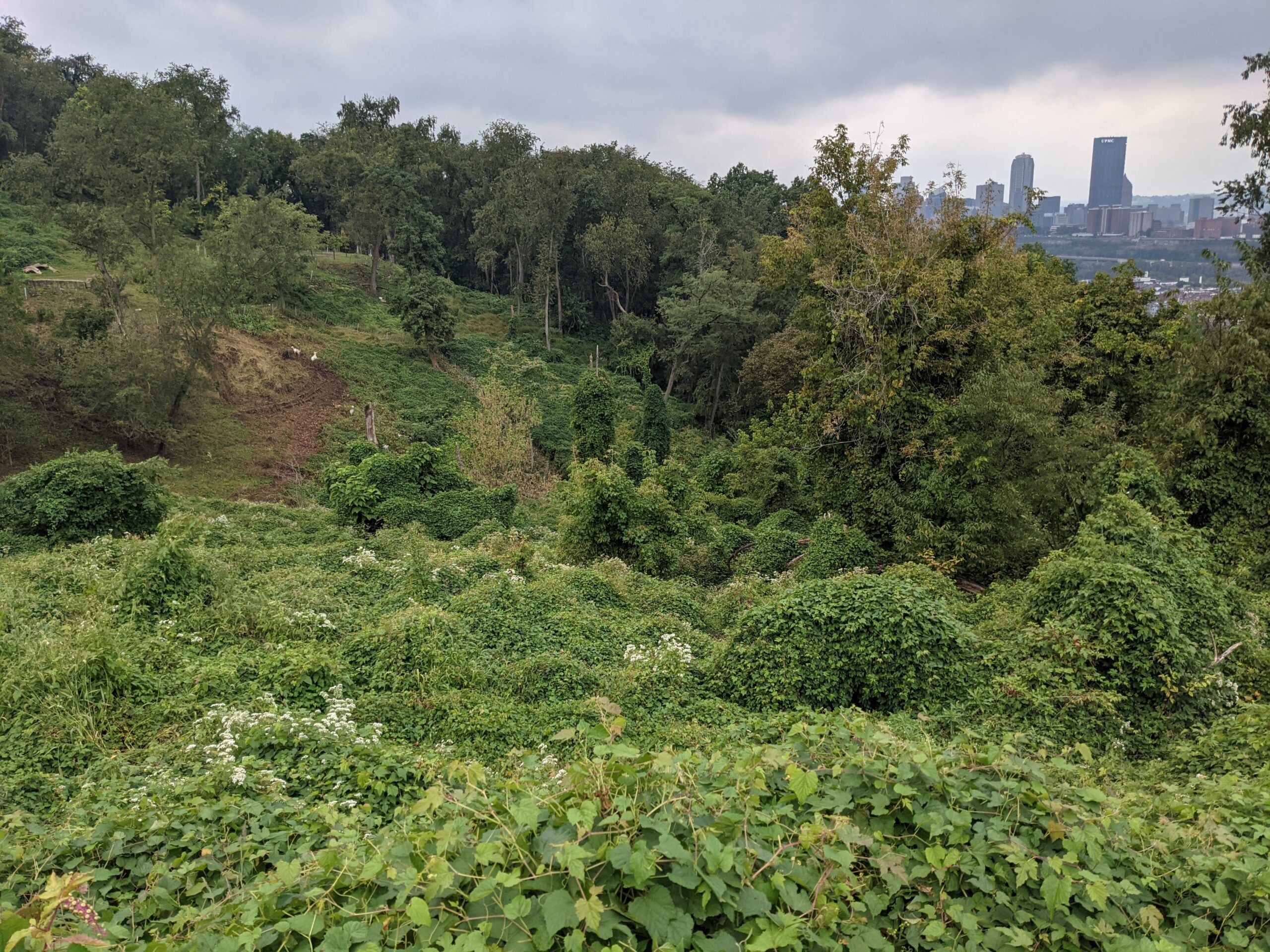
Efforts continue to reclaim a 64 acre park that extends from Josephine St. below to the heights of the Slopes. In this wooded hillside are streams, ball fields and pathways. Volunteers have removed invasive knotweed and vines that choke the park. A number of marked trails within it provide great hiking opportunities. With funding from The Brashear Association, South Side Slopes Neighborhood Association (SSSNA) partnered with Pittsburgh Parks Conservancy, Landforce and the Student Conservation Association to create this neighborhood asset. Friends of South Side Park manages its ongoing work.

At the end of the paved parking area, climb the 72 serpentine steps. The debris here is from recent work to redirect gas and water lines in the park that needs to be undertaken before the first phase of the park master plan can begin in this area.
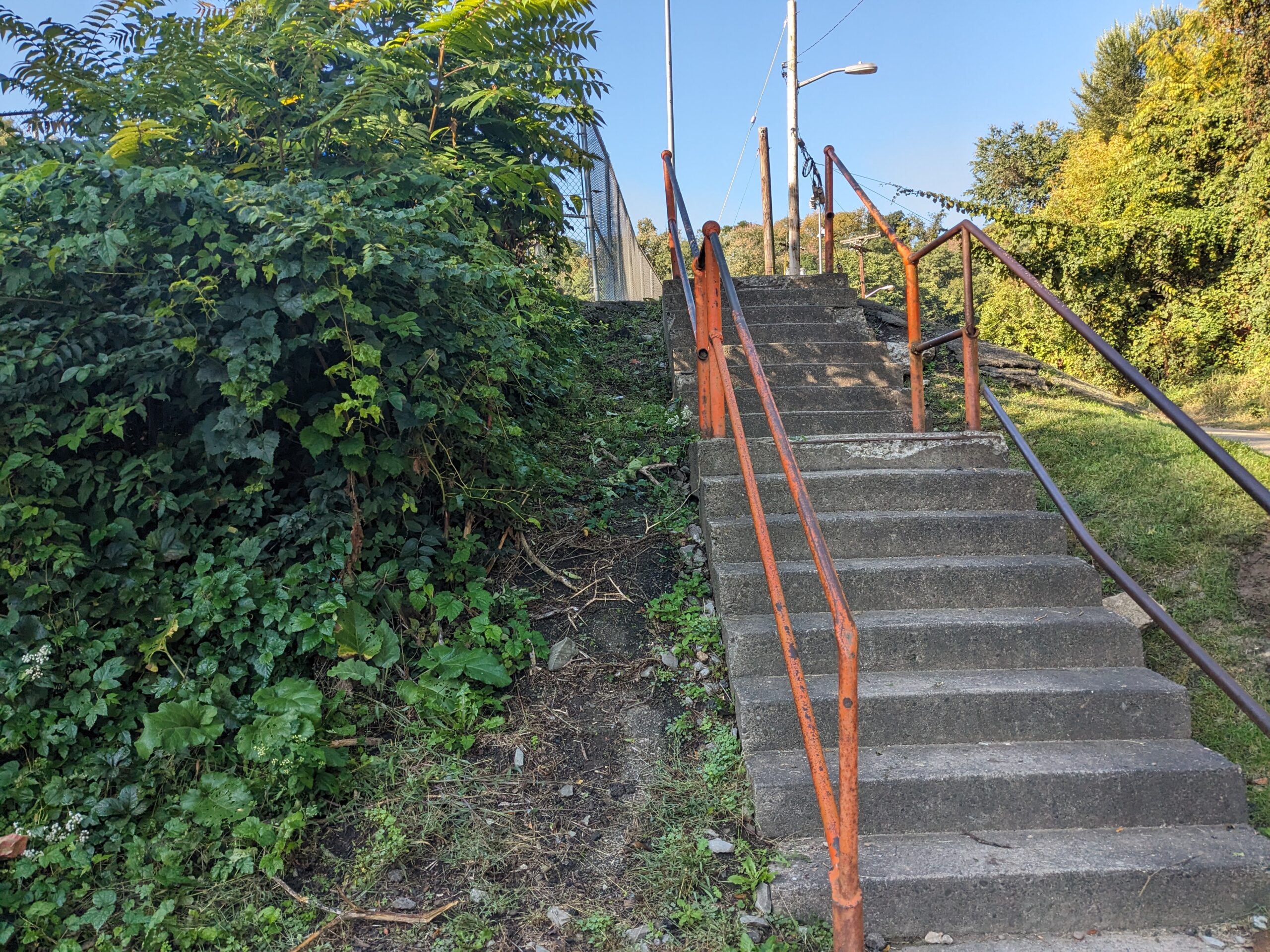
Continue up the paved area alongside guard rail, left side, to the fenced ball fields ahead. Keeping left, climb 16 steps to Saber Field. On weeknights and many Saturdays, the playing fields bustle with children engaged in organized athletics. Ascend another 16 steps to the basketball court. A nearby sign refers to the South Side Park Phase 1 improvements. Continue up Saber Way to St. Patrick St.
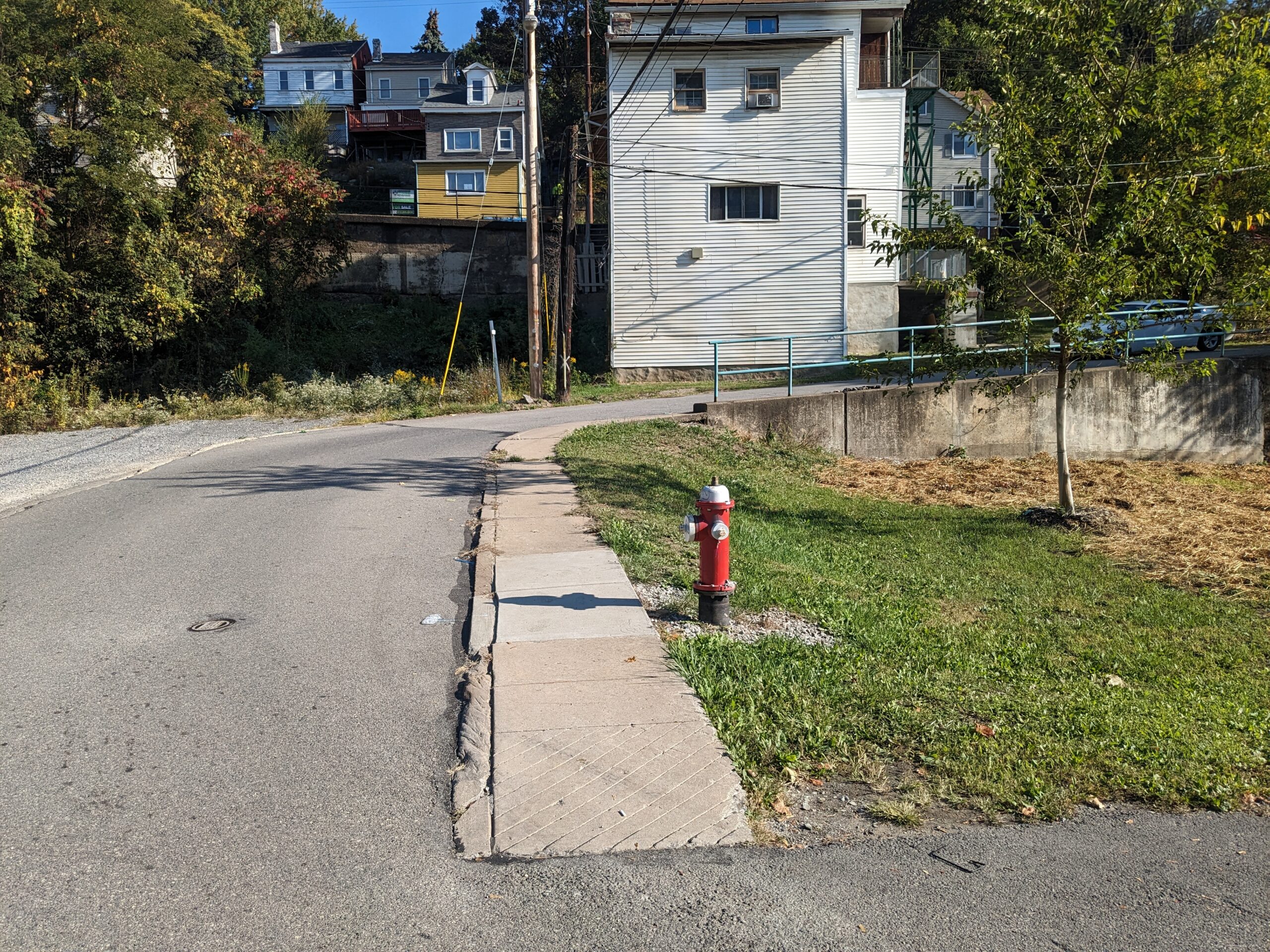
Make right and ascend sidewalk. Cross St. Patrick St. and take the 5 steps on left to S. 18th St.
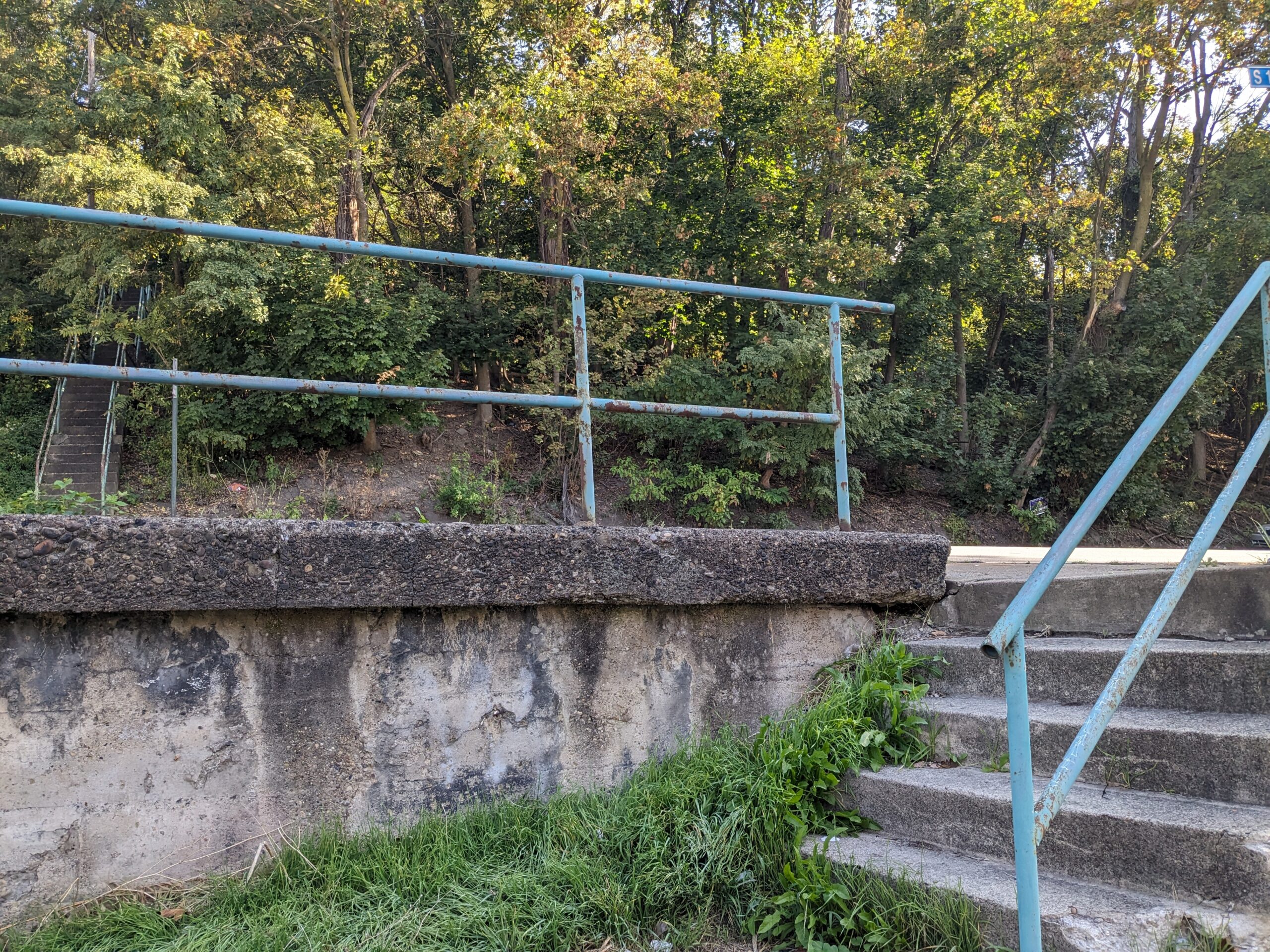
Cross street to the steps opposite.
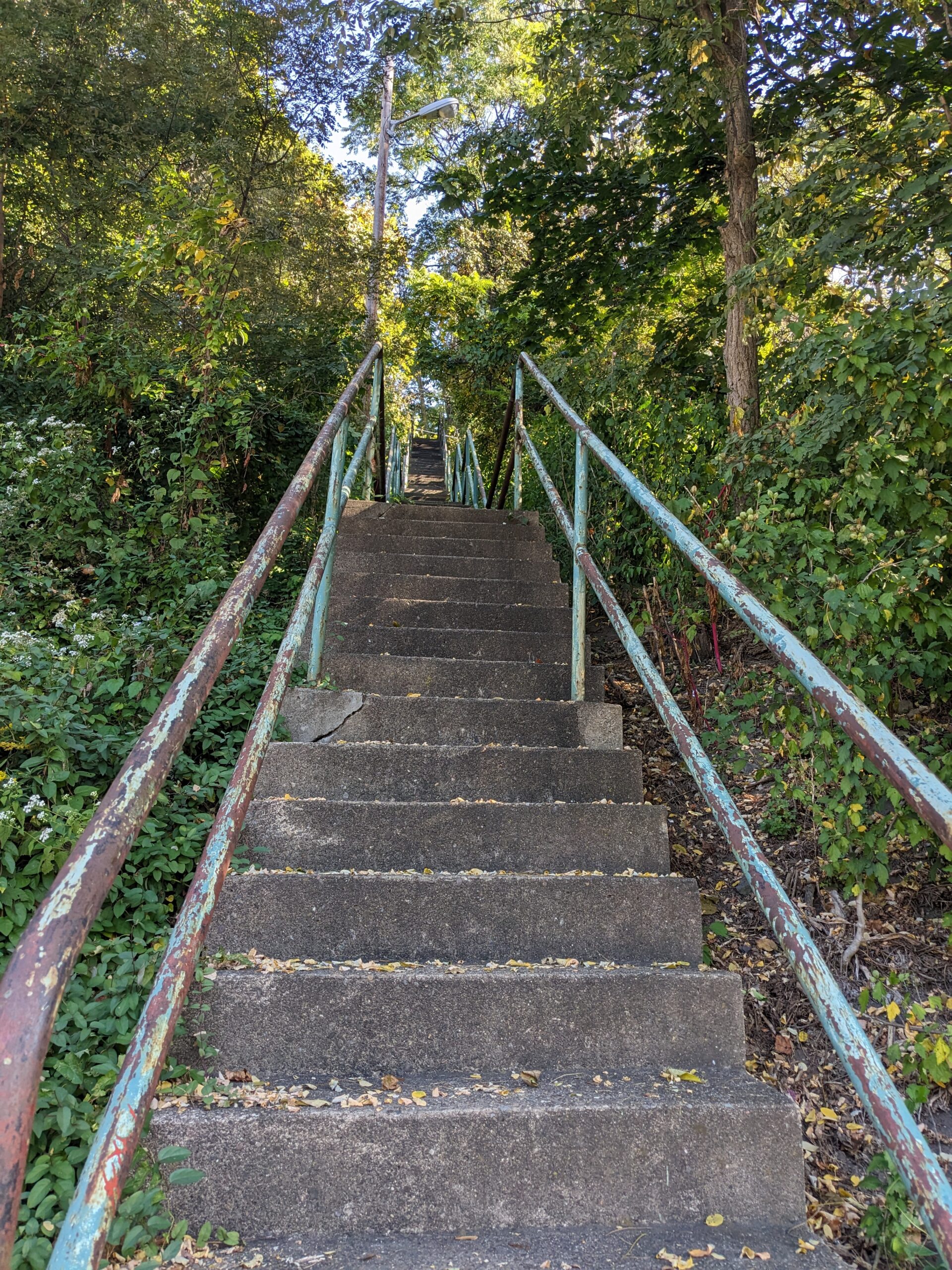
Ascend the 82 steps to St. Paul St.
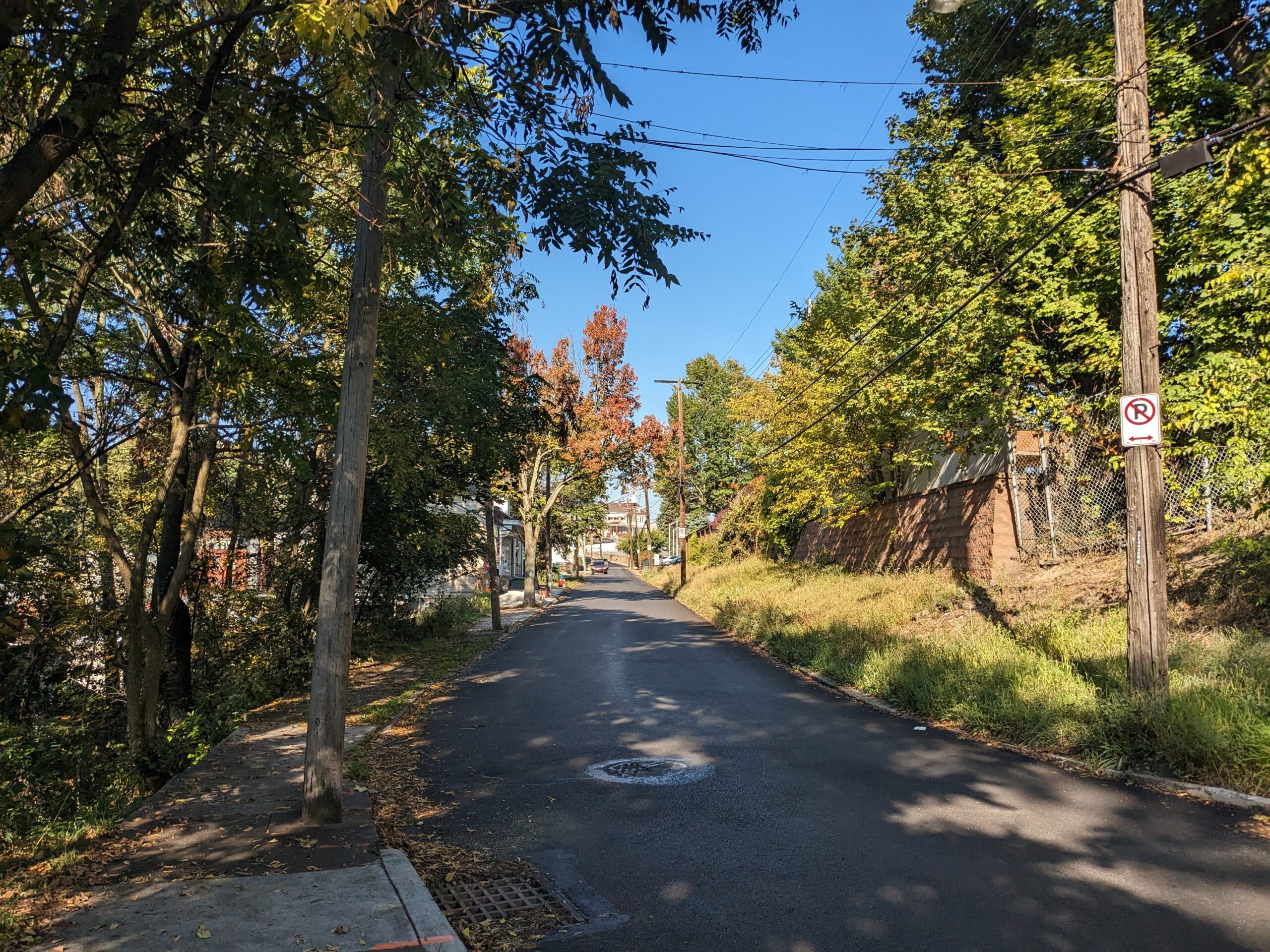
Make left and continue along St. Paul past the brick garden walls that are part of the St. Paul of the Cross Monastery and Retreat Center. The monastery was founded in 1853. The brick walls appear to be the original ones that shielded the enclave from the outside world. Parts of the garden can be seen where the wall ends. The orange brick building is the Retreat House, which is available for individual retreats by arrangement. At the top of Monastery, is St. Paul of the Cross Monastery. Cross Monastery Ave. to St. Martin St.

Though not part of this route, up to the right, is the Monastery. In 1852, the first bishop of Pittsburgh invited over the Passionists, an Italian order known as the barefoot missionaries. The Passionists vowed to live a life of prayer, poverty, penance and solitude. Their first retreat in the New World was held here in 1855. Designed by the architect Charles Bartberger, the church was completed in 1859 in the midst of an 11 acre compound chosen for its serenity, natural beauty and seclusion. The architectural style is Romanesque. The interior rose window is a copy of one in Reims, Germany. The newly renovated chapel is exquisite and opens daily from 7 a.m. to 5 p.m.
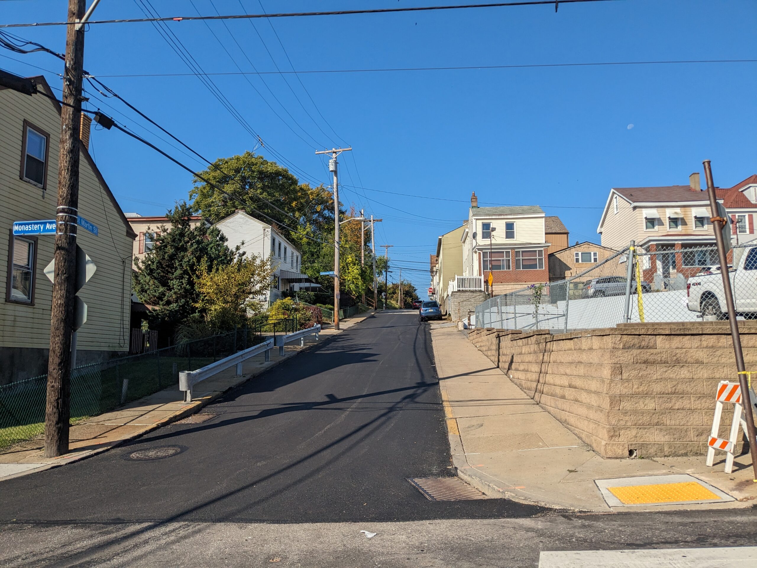
Cross Monastery and walk up sidewalk to St. Thomas St.
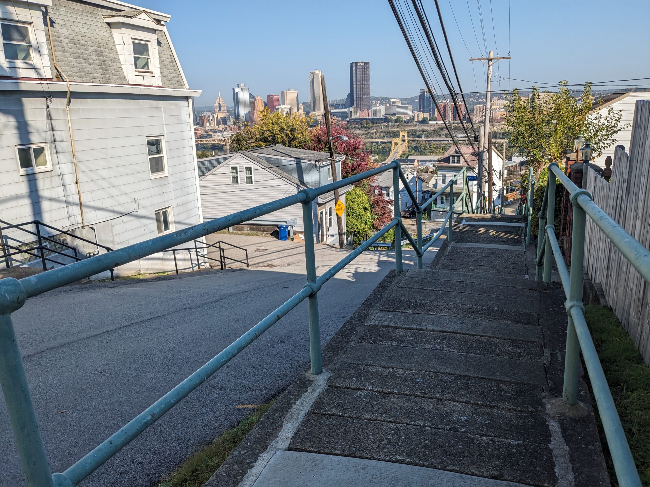
Make right, keep right and enjoy the view of the 10th Street Bridge, Mercy Hospital, Duquesne University, the Golden Triangle, the Point and North Side hills behind downtown. When ready, descend the 78 steps to Monastery St.
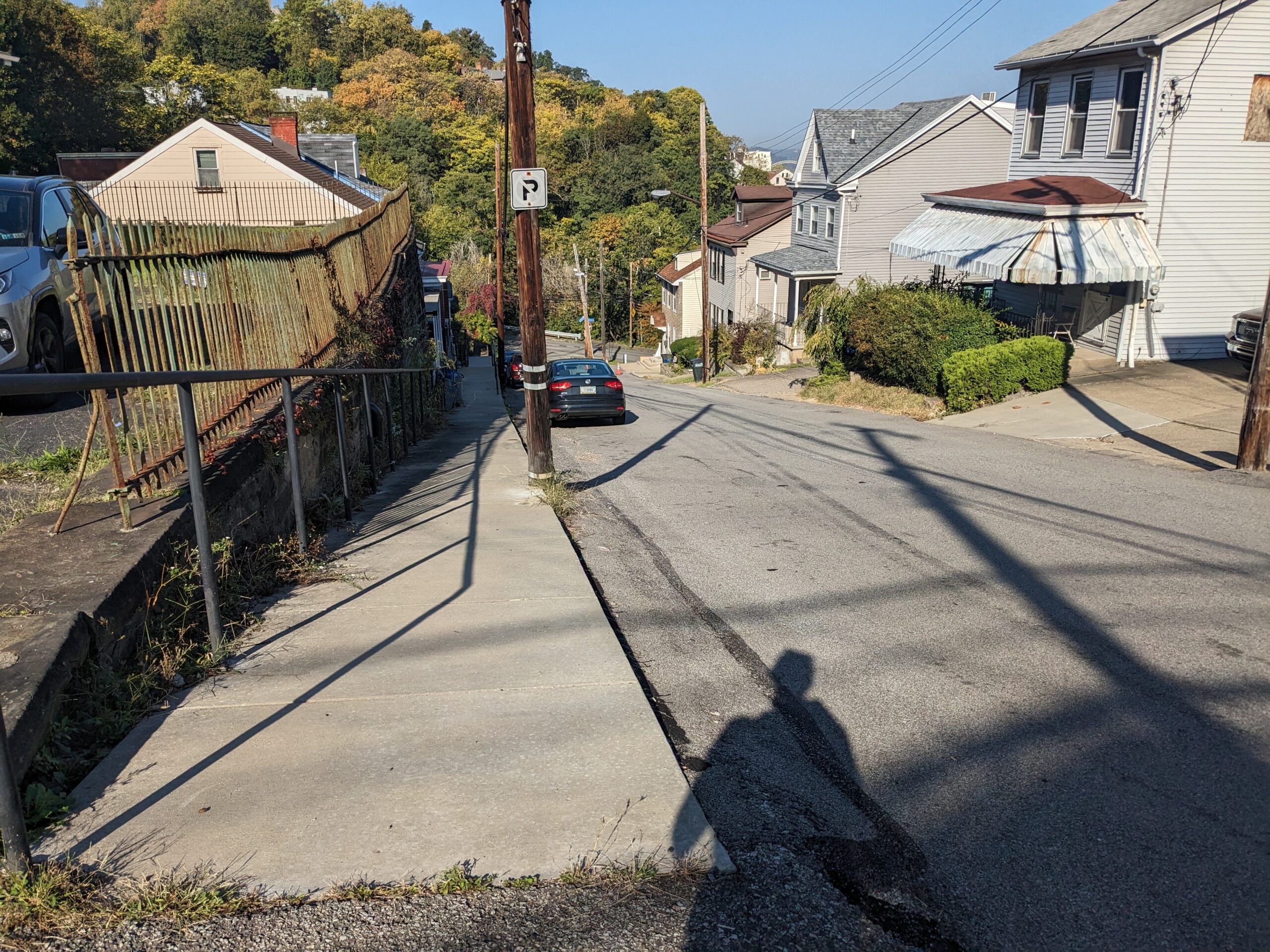
Look up Monastery for a glimpse of St. Paul of the Cross Monastery. These steps and sidewalk were rebuilt a few years ago as part of a project to replace a larger set of steps that ran the length of Monastery. When ready, make a left and descend 39 steps to Brosville St.
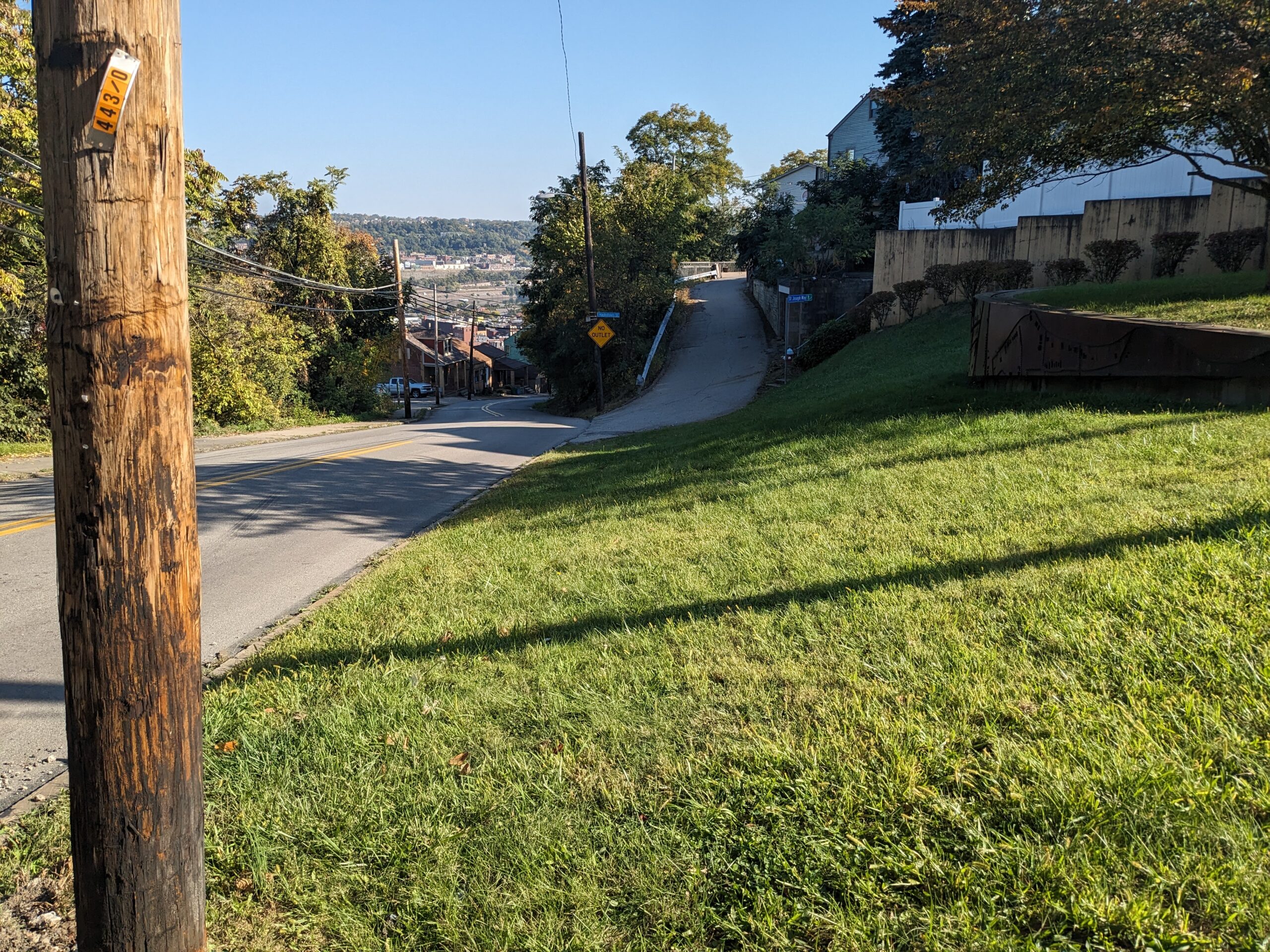
Turn right and keep right on the grass below Brosville-Monastery Welcome Garden.
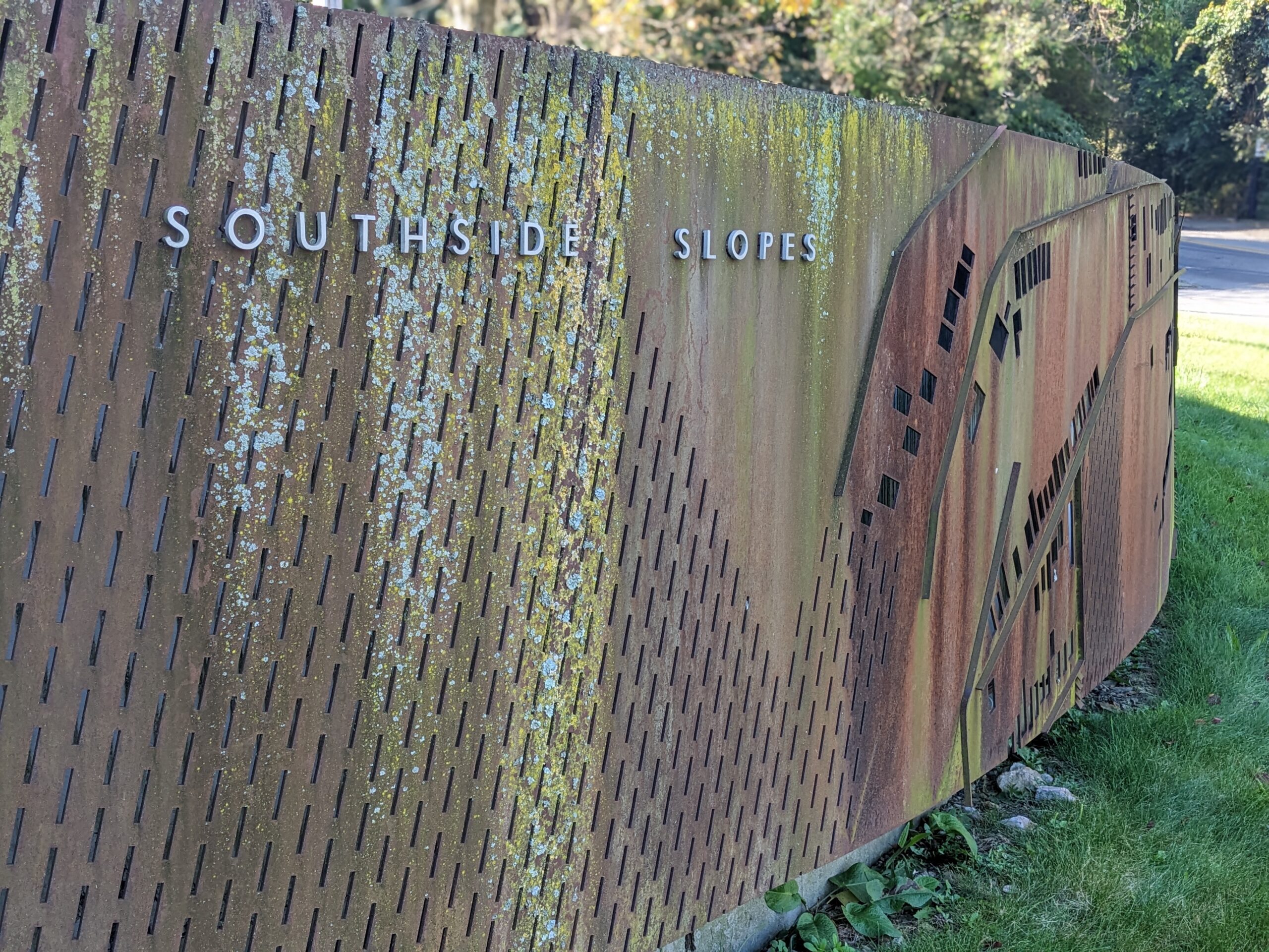
Terraced into the green space on the right is a fabricated canvas of COR-TEN steel plate installed against a curved retaining wall. The scrim replicates a section of the Slopes neighborhood from a lot and block map. A state Elm Street grant funded the project created by former SSSNA board member and architect Peter Kreuthmeier. Dedicated in 2007, the installation is one of six gardens maintained by SSSNA members and has garnered both state and local awards.
On the right as you descend Brosville is Hackstown St. and St. Joseph Way Steps. Moving day has to be tough!
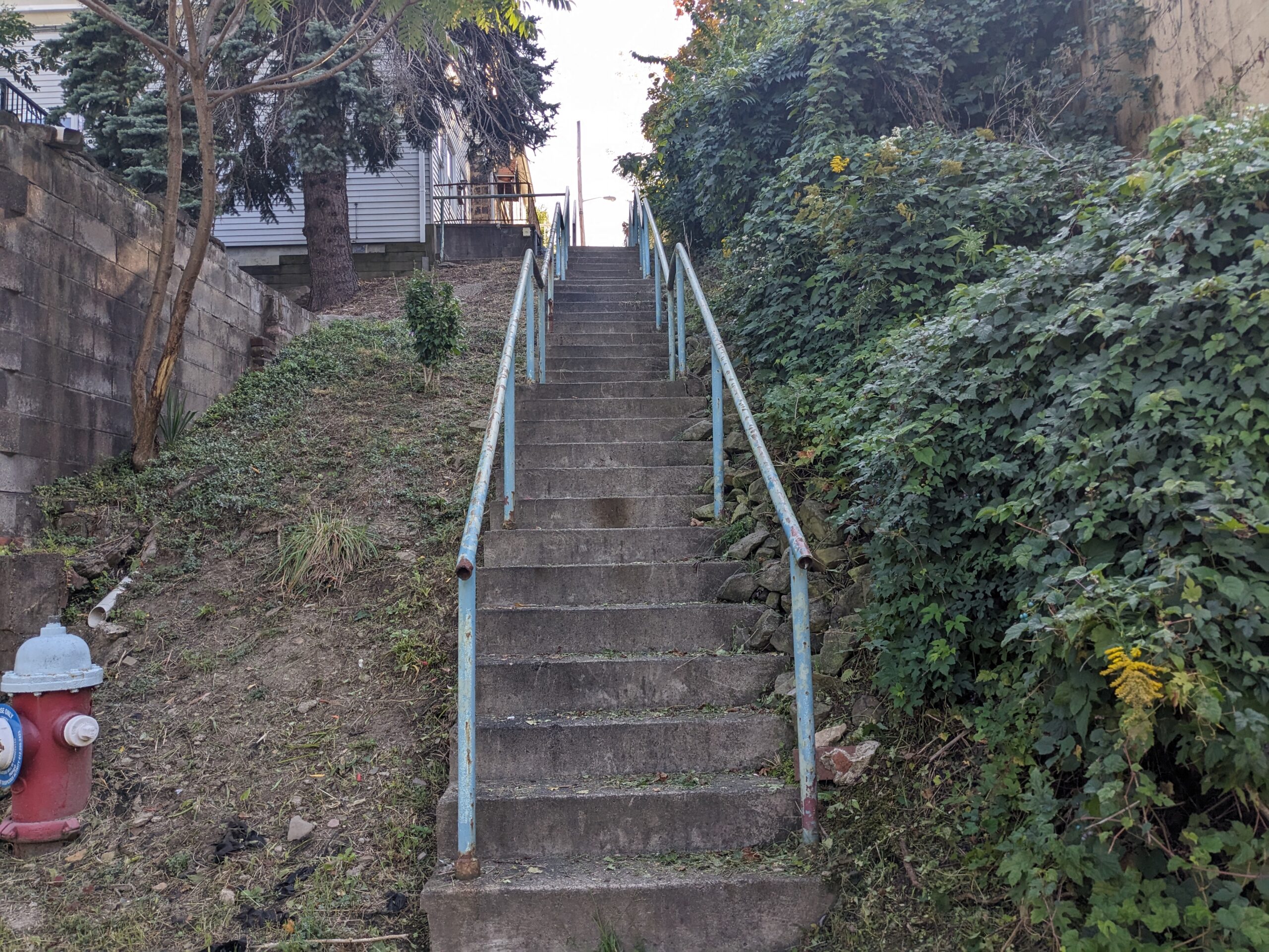
Make right and ascend the 77 steps to St. Joseph Way. Note that all of the houses have access via the steps only.
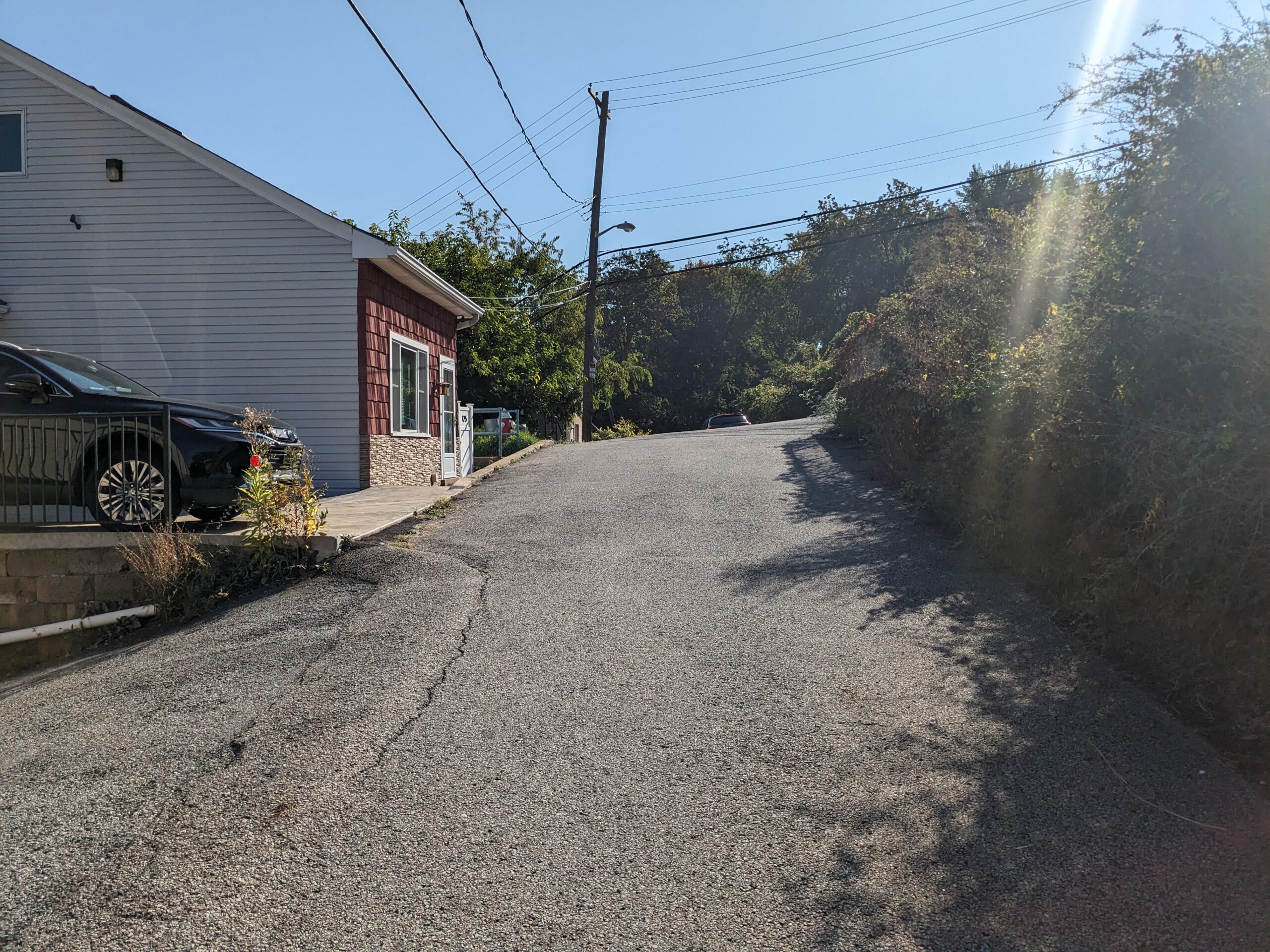
Walk the short distance to the St. Thomas St. steps, which begin just past 125 St. Joseph Way.
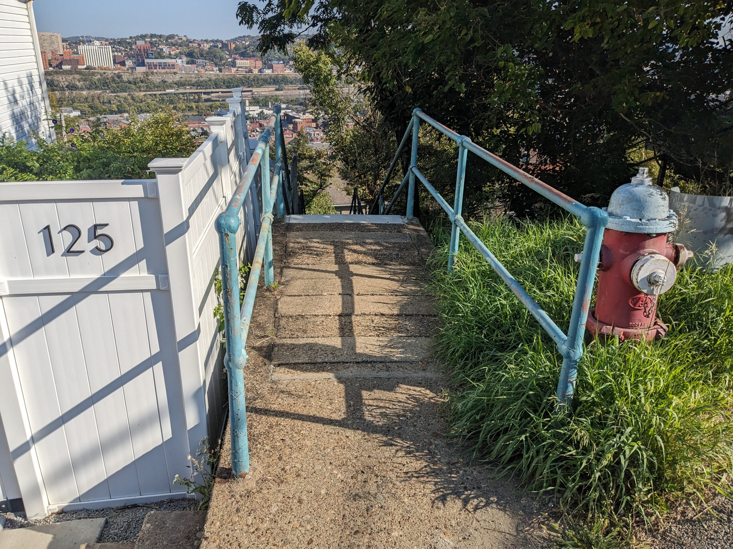
Make left and descend the 78 steps to Hackstown Street. At eye level ahead is the steeple of the former St. Michael's Church. Also visible is the Mon River and Pitt's upper campus.
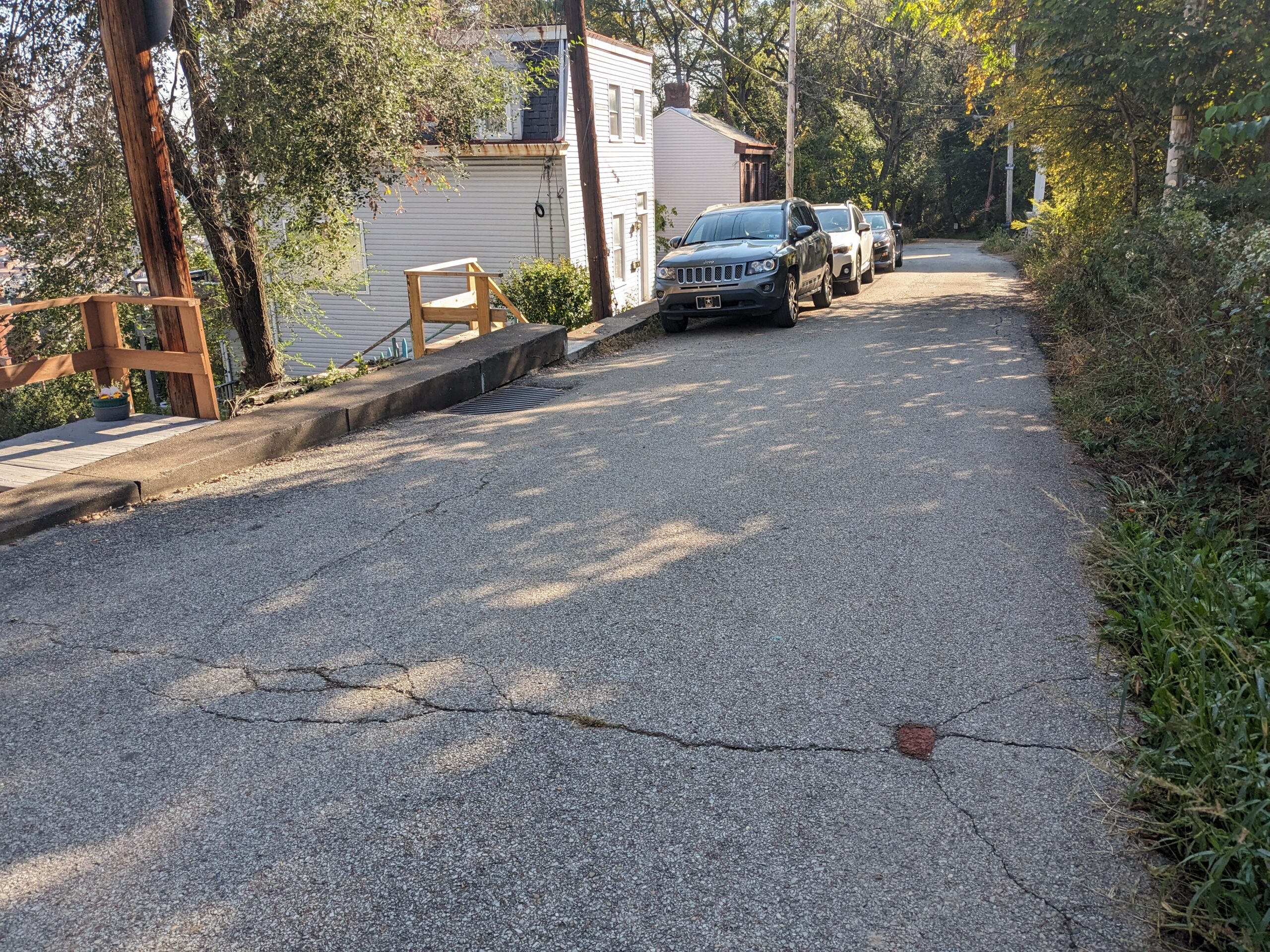
Turn right. On the left, past 18 Hackstown, are the St. Michael Street steps.
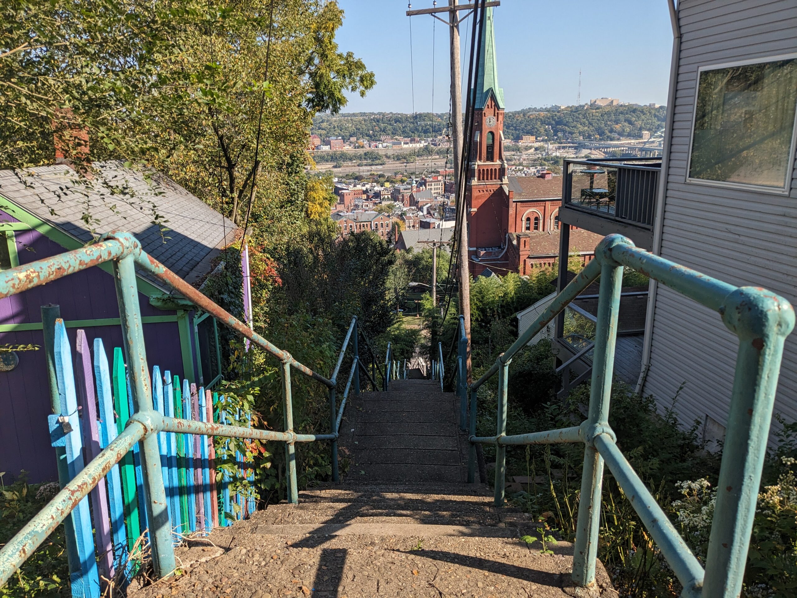
Descend 151 steps to Pius Street. Directly ahead is St. Michael Church.
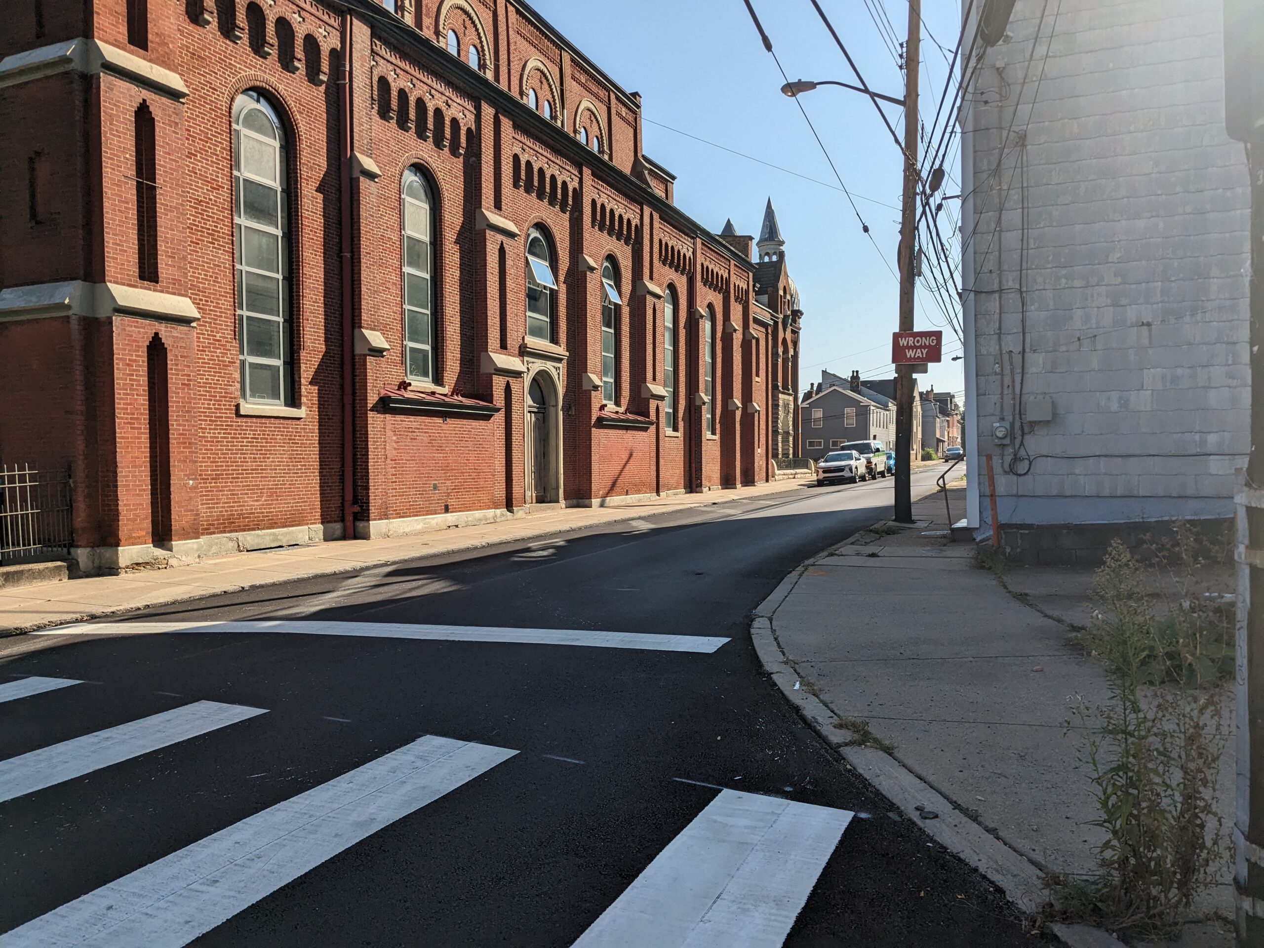
Make right and walk along Pius St. To your left is the former St. Michael Church.
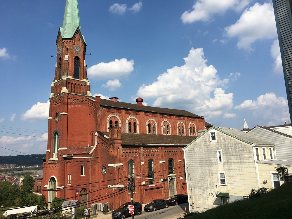
The influence of the Catholic Church was strong in the Slopes. St. Michael parish started in a house in 1848 where the church front now stands. Designed by Charles Bartberger of Stuttgart, Germany, who also designed St. Paul of the Cross Monastery, the church was built between 1855 and 1860 on land donated by German immigrants. The surrounding land reminded them of the Rhine River valley. Though it has a gothic spire, the overall style is Rhineland Romanesque Rival similar to rural Bavarian churches. The church was closed through a consolidation of parishes and has been redeveloped into condominiums.
In 1849, a deadly cholera plague struck Pittsburgh. The parish could not find enough burial places for its deceased members. Parishioners prayed to St. Roch and vowed to keep a day holy if the plague would cease. It did. Another plague hit the city in 1853 but no members of St. Michael died. Cholera Day is observed each August in Prince of Peace Parish on the South Side, the successor to St. Michael Parish.
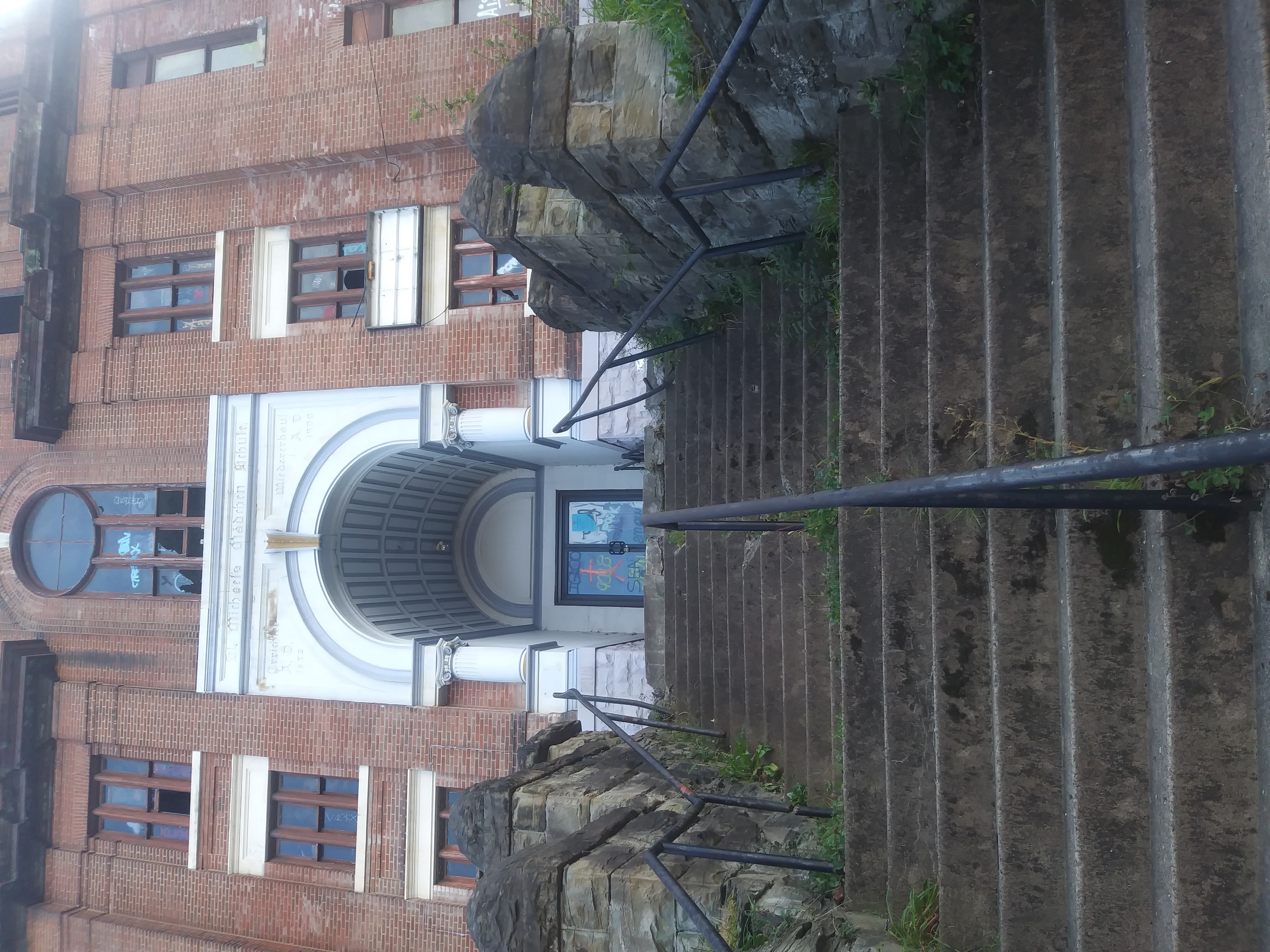
Beginning after S. 15th St., the complex on the right includes the Burning Bush (40 Pius), which had offered an overnight retreat center for meditation. It is now under consideration for redevelopment as living units. At 44 Pius is the former St. Michael's Madchen Schule and previous home of the Veronica's Veil playhouse. The theater hosted a series of plays throughout the year but was most famous for its Passion play, Veronica's Veil. Performed during Lent, it was said to be the longest running play in American community theater. These buildings were part of St. Michael's Parish. The former convent for the parish lies at 66 Pius Street and is now a condominium complex.
Continue east along Pius St. Just before 86 Pius are Pius St. Steps.
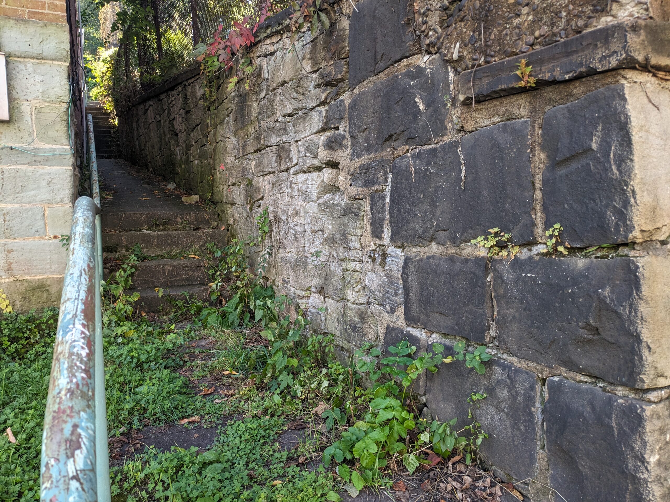
Make right and climb 21 steps to Gregory St.
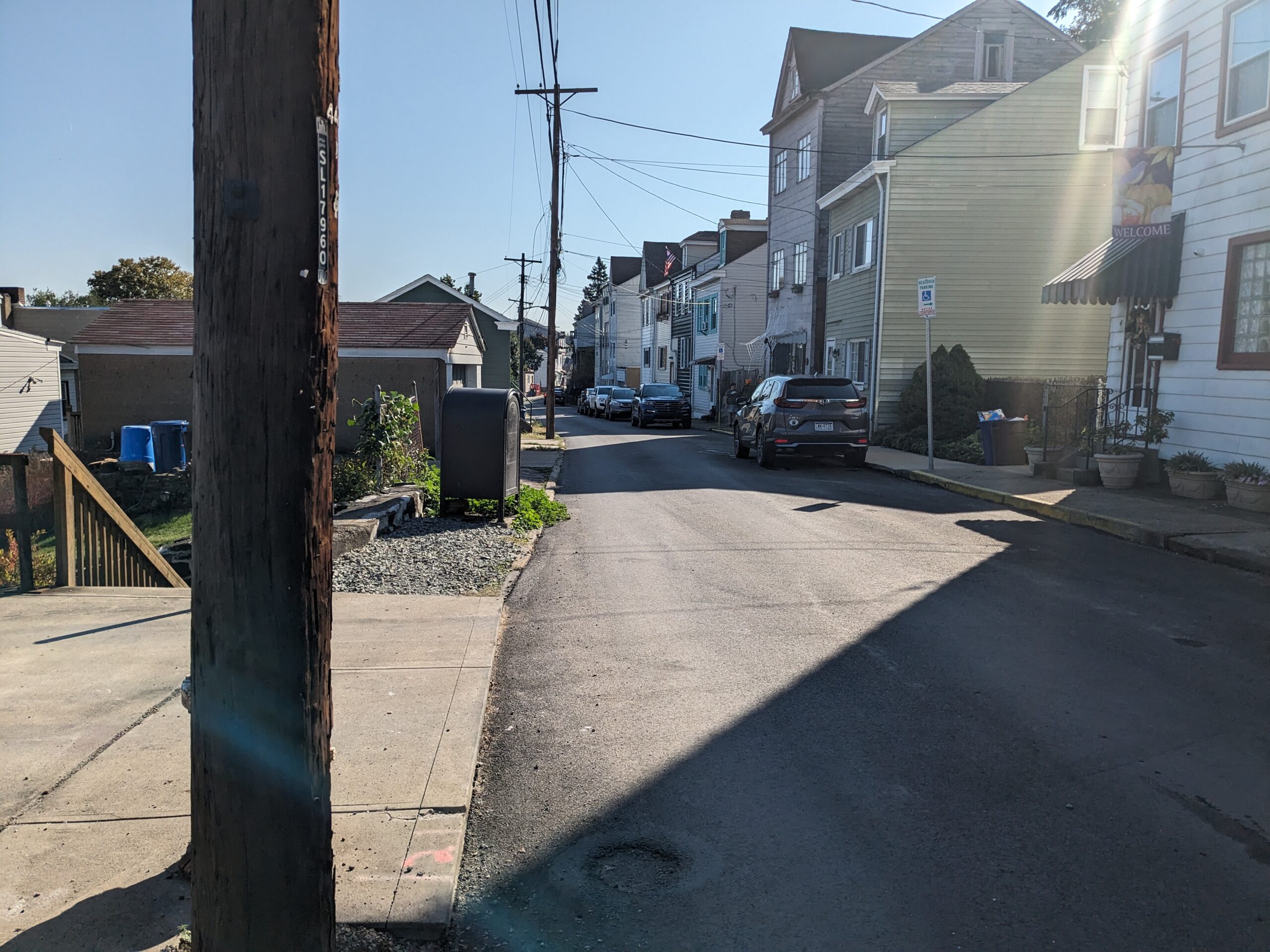
Turn left. Just after 30 Gregory are Yard Way Steps.
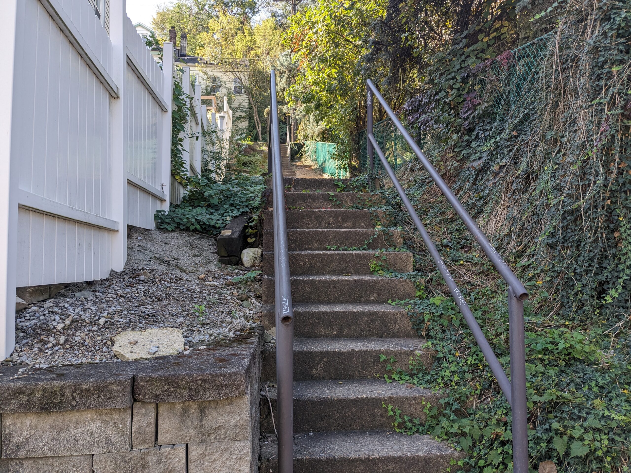
Take right and climb 38 steps to Magdalene St., the first intersection. Most of the steps on Yard Way date back to 1944 and number 314 in total. They are the longest set of stairs on this side of the Slopes.
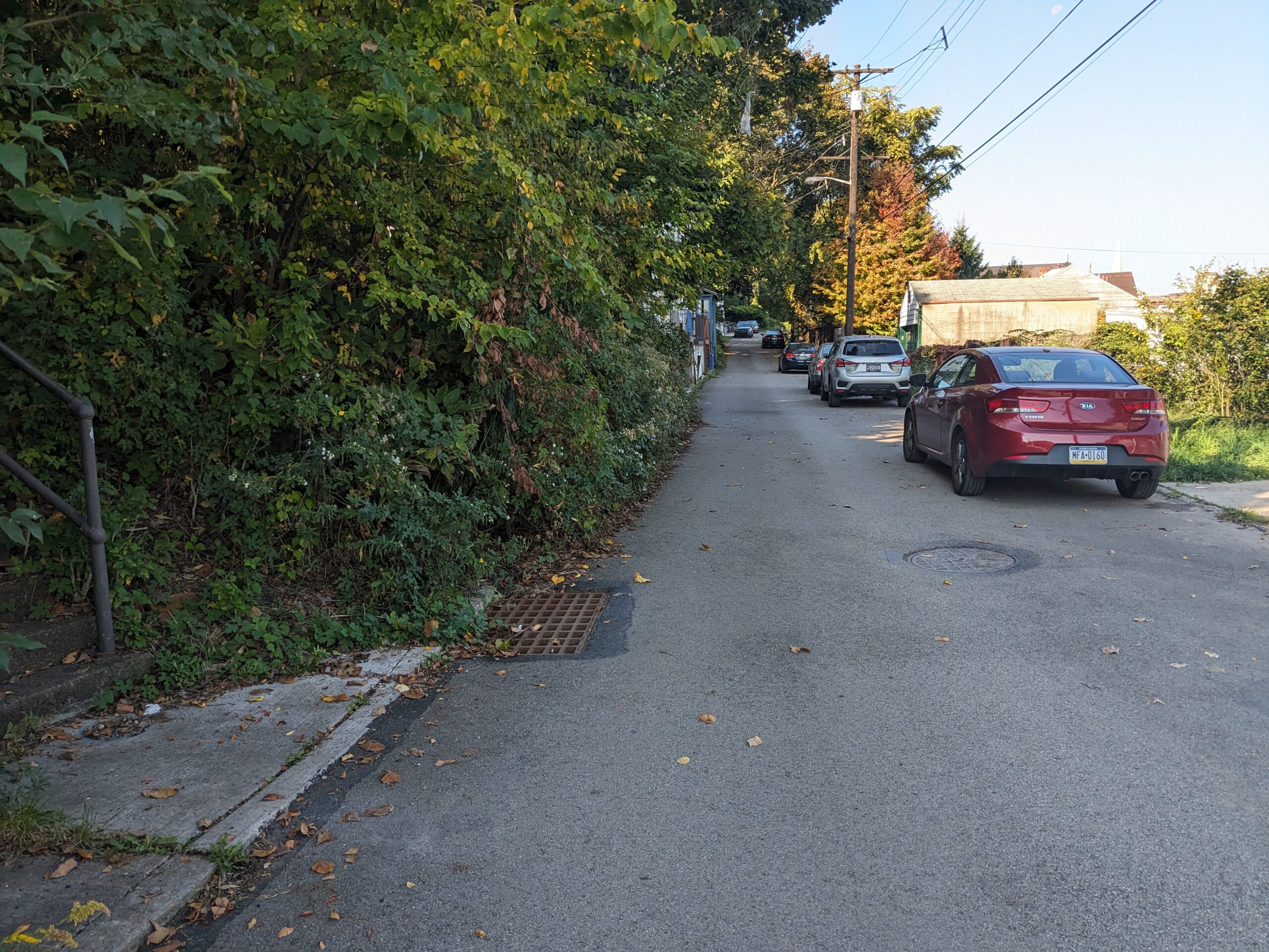
Make right and walk along Magdalene. Notice the views over the rooftops of downtown and Hill District. Continue to Short St. Steps, which are just before the last white house on the left, 6 Magdalene.
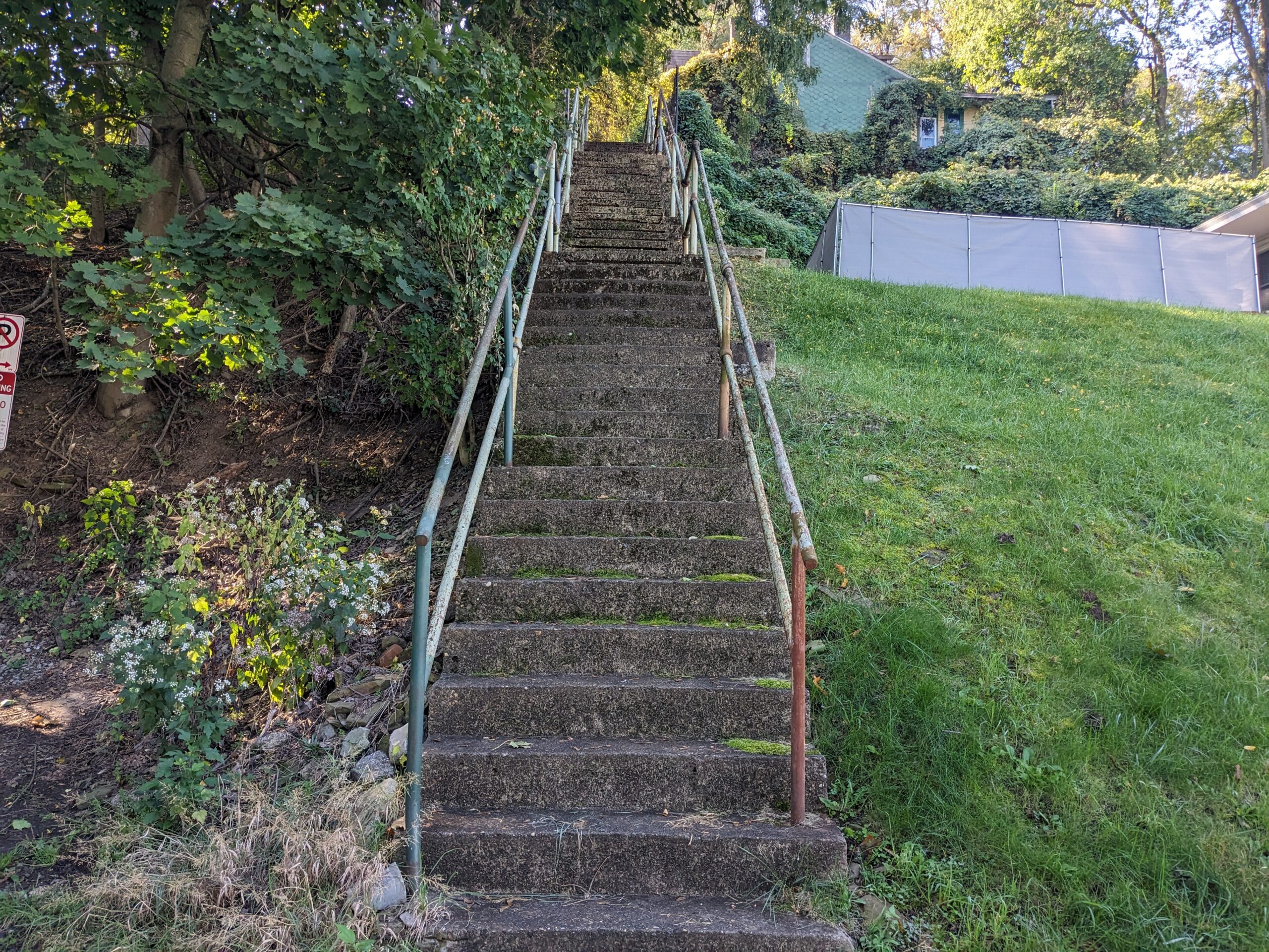
Take a deep breath and climb these 106 steps to Baldauf St.
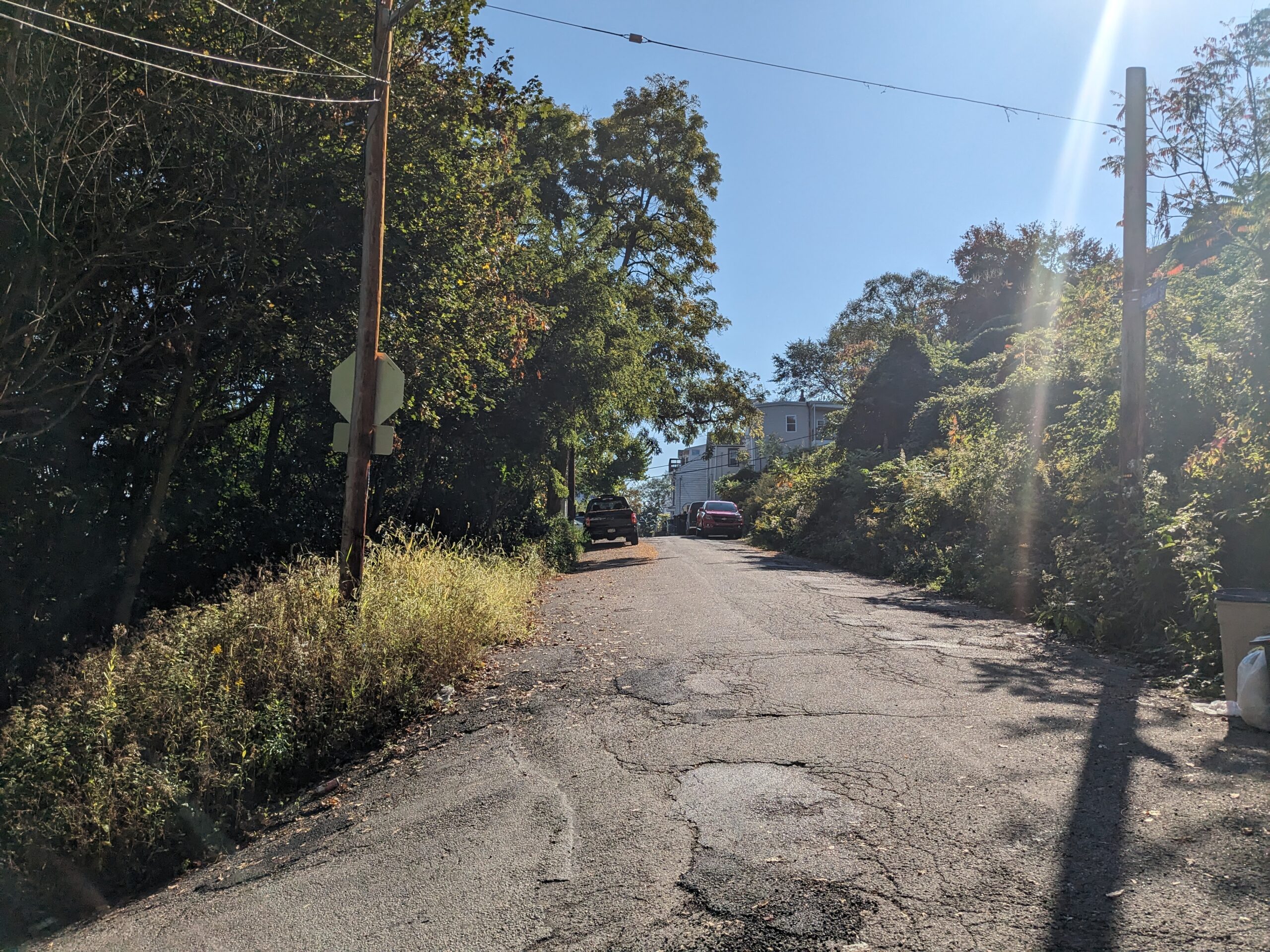
Turn left and keep right. Walk along the street to rejoin the Yard Way steps just before 1900 Baldauf.
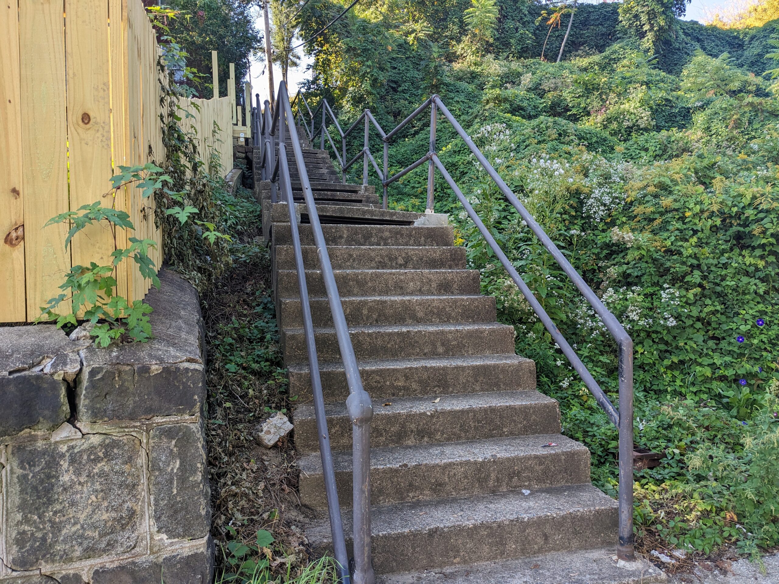
Turn right and climb these 52 steps to Huron St. and Winter's playground. Though currently closed, it is scheduled for reconstruction in summer 2024. When ready, ascend an additional 63 steps to Shamokin. Welcome to Billy Buck Hill! Stop, rest and turn around to enjoy the view. Since leaving Pius St., you walked the equivalent of 20 stories.
Founded by Germans, its homes - like many on the South Side - have passed through generations of families. The name Billy Buck comes from goats once kept in the yard of a local store. Bordered by cliffs and rugged terrain, the area is accessible by steps and a single street. According to the Post-Gazette, there have been a couple of famous mishaps here. Once a milk truck flipped over while making deliveries on its hilly streets. Another time, a horse and wagon, hauling waste from neighborhood outhouses, tumbled over the hillside.
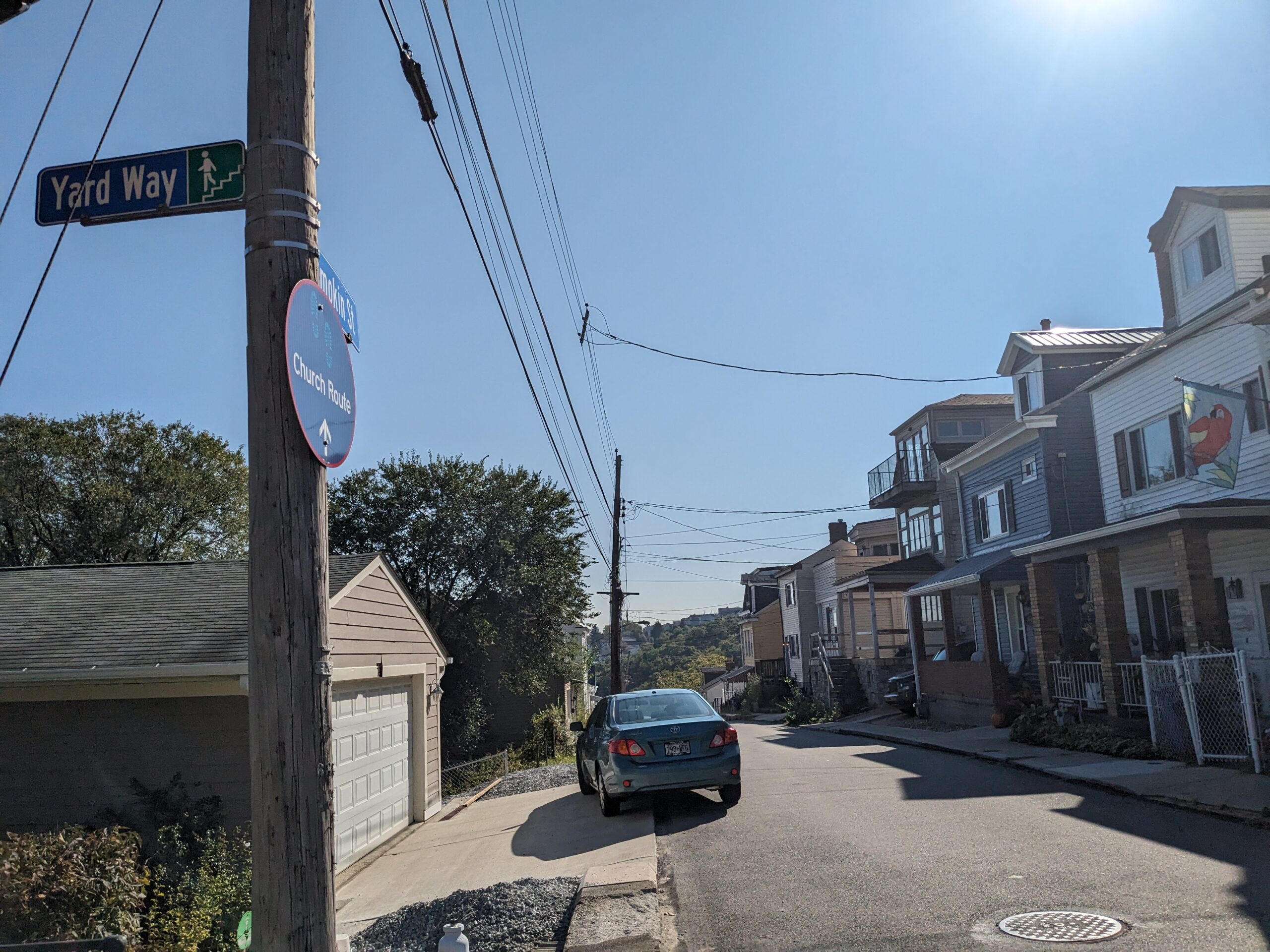
Here you'll find a water stop. When ready, make a left. Between homes on the left are views of Uptown, Birmingham Bridge and Oakland. Continue to Oporto St.
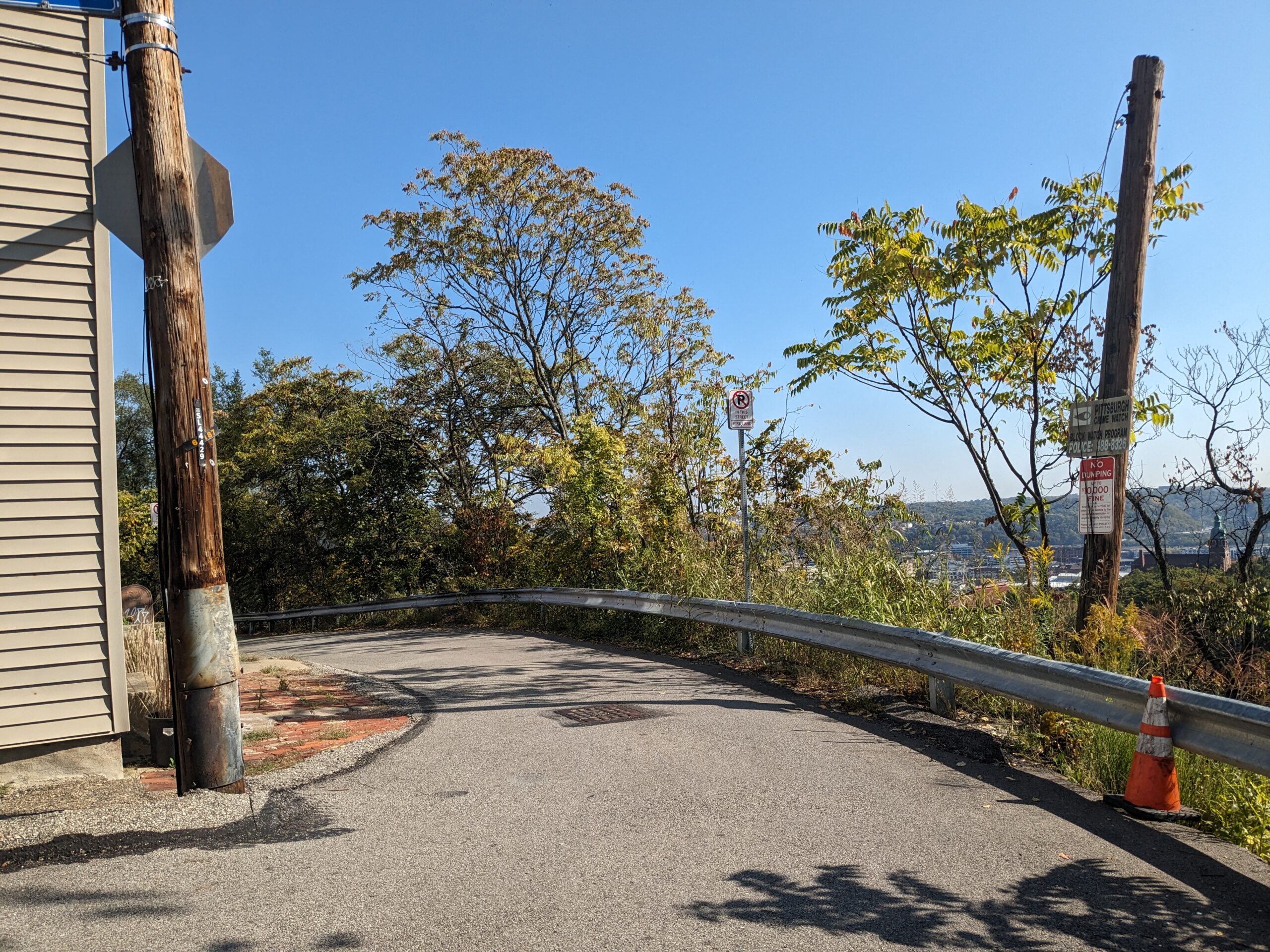
It's a steep drop to S. 18th St. below. A landslide in spring 2021 had closed this section of Oporto. The neighborhood is in a constant negotiation with the city to maintain the infrastructure of its hillside community. Take left and walk to Baldauf St. and Oporto St. Steps.
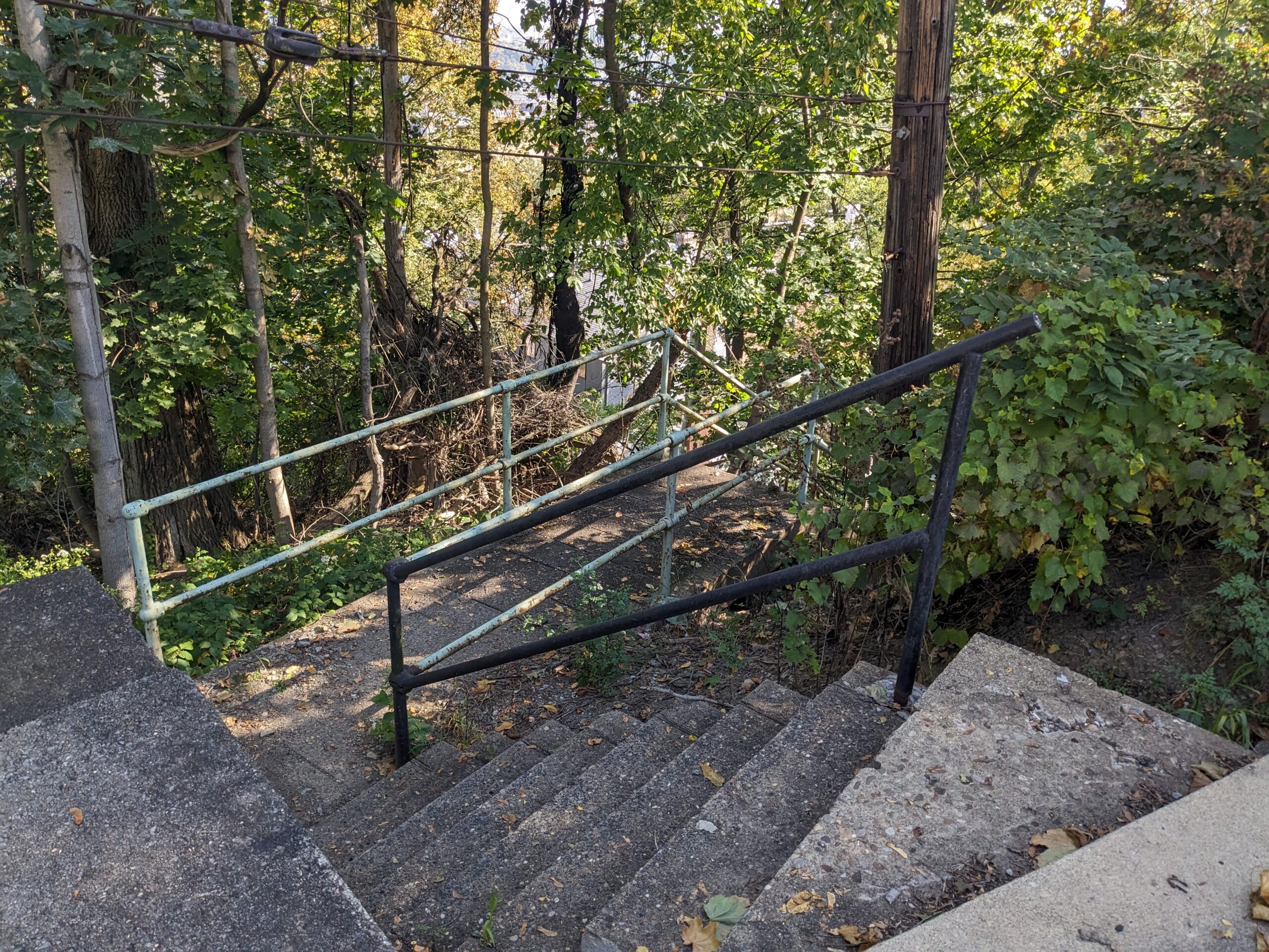
Make right and descend 10 steps. Turn right again and drop down 115 steps to Roscoe St. To the right of the steps was the site of the Sankey brick yard that was active in the Slopes until the 1950s. Many a yard in the slopes has a stash of Sankey bricks buried under the soil.
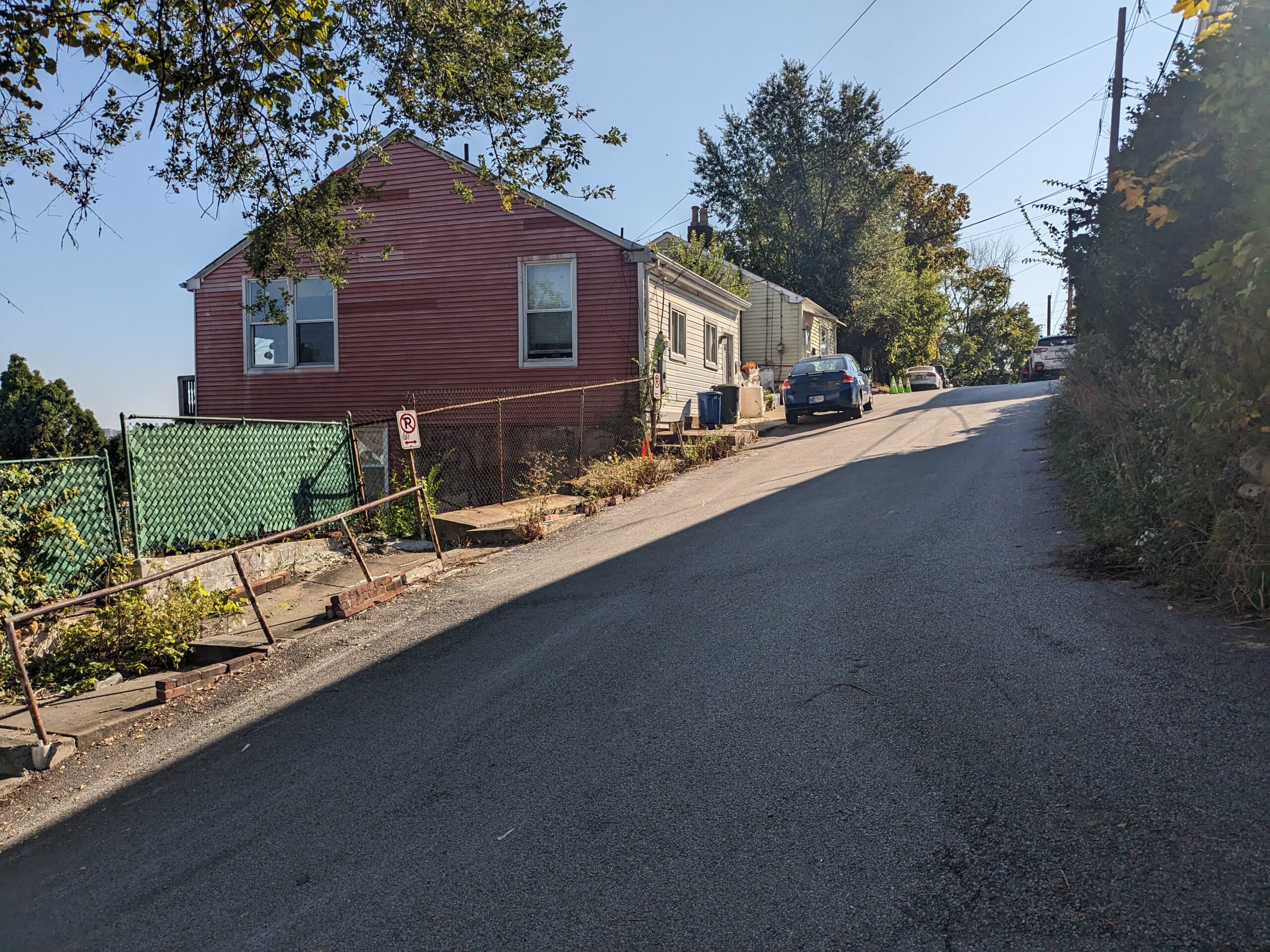
At bottom of steps, cross lane and make right on Roscoe St. Ascend 9 steps on left side. Continue past Crossman St. to St. Leo St. Notice the tight yards on the right.
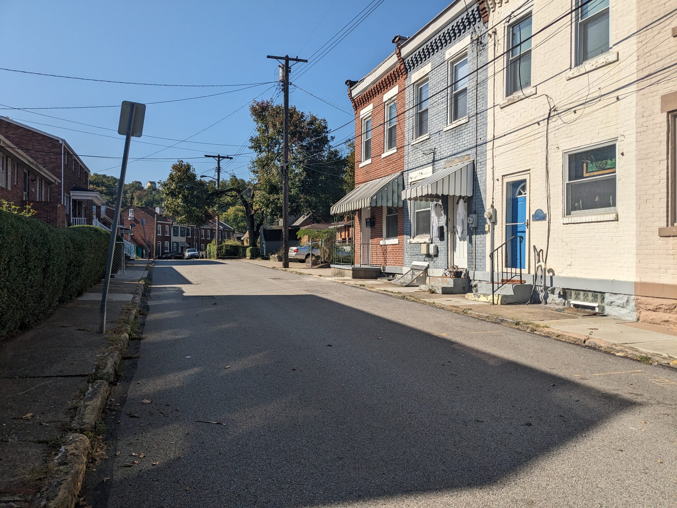
Turn right and continue past narrow, century-old brick homes to where street meets Crossman St.
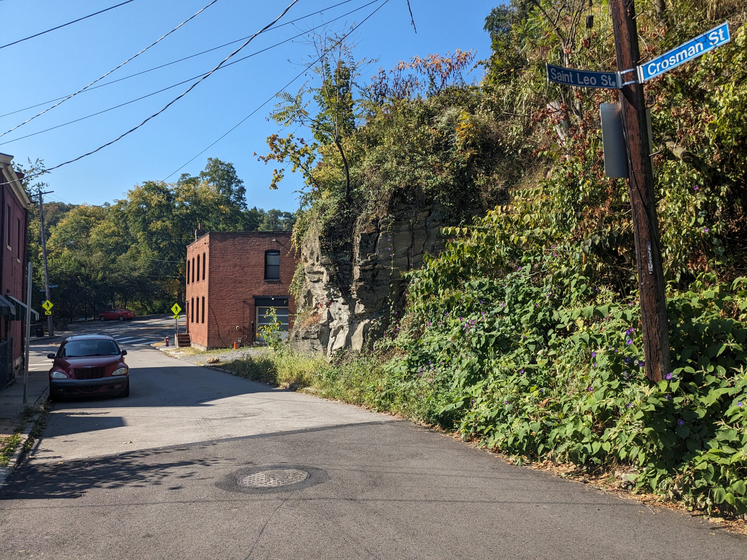
Make left and follow street to S. 18th St.
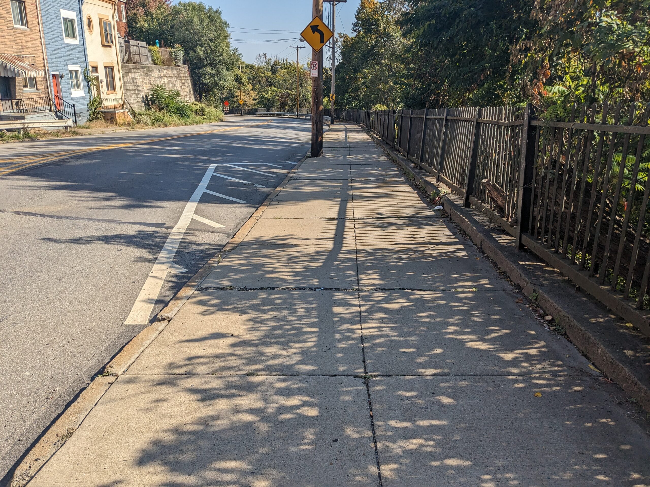
Cross to opposite side and make left. Keep to the right and follow the broad sidewalk past the metal railing to Mission St. Here and elsewhere along S. 18th St., the street signals and adjacent sidewalks are being upgraded. Descend to stop light and Mission St.
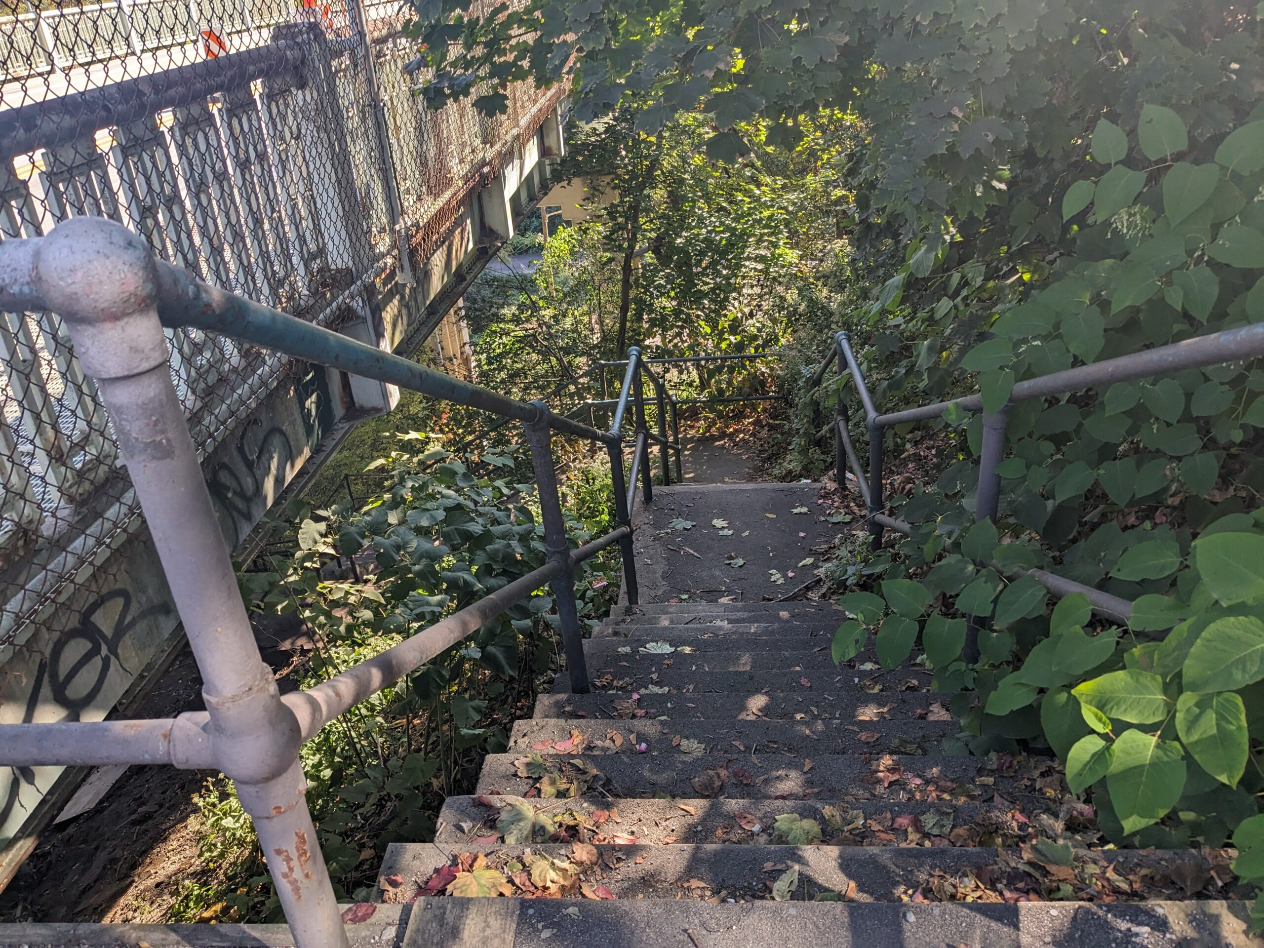
Make right. From here, trekkers have the option of returning to the registration area or joining the Black Route. To join the Black Route, see entry #43. To return to the registration area, descend the 102 steps behind the bus shelter to South Side Park. Follow the walk at the bottom of the steps to the paved street, which is 21st Street. Turn left and descend the gentle grade to the registration area on the right.

Turn right on Mission St. and continue east across the bridge built in 1939 as a project of the Public Works Administration under FDR. After the bridge is the Mission Pumping Station circa 1900, which delivers water into the neighborhood and adjacent areas. The water pressure coming out of this building is so high that many residents on the adjacent streets have two water pressure reduction valves to prevent their water lines from blowing out. Walk across the second bridge to Sterling Street and former St. Josaphat Chapel. Please turn to the Black Route narrative for directions.
For Gold/West Route text, click here.
