Gold Route 2018

2.
* South Side Park -
Efforts continue to reclaim a 64 acre park that extends from Josephine St. below to the heights of the Slopes. In this wooded hillside are streams, ball fields and pathways. Volunteers have removed invasive knotweed and vines that choke the park and built its trails. With funding from The Brashear Association, SSSNA partnered with Pittsburgh Parks Conservancy, Landforce and the Student Conservation Association to create this neighborhood asset. Friends of South Side Park manage its ongoing work.

4.
S. 18th St. -
Cross S. 18th St. at light to Pius St. on the opposite side.
5.
Pius St. -
Continue along Pius. At 178-180 Pius is UUBU6, a local restaurant favored by StepTrek volunteers. New signage throughout the Slopes point out public stairs such as S. 18th St. Steps, located before 107 Pius St.

7.
Pius St. Cont. -
Continue along Pius toward town. The former convent at 66 Pius Street, on the left, is now a condominium complex. The building was once part of St. Michael Parish.
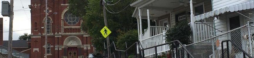
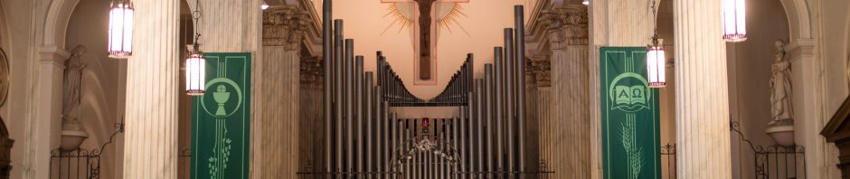
8.
* St. Michael Parish -
At 44 Pius is the former St. Michael's Madchen Schule and previous home of the Veronica's Veil playhouse. The theater hosted a series of plays throughout the year but was most famous for its Passion play, Veronica's Veil. Performed during Lent, it was said to be the longest running play in American community theater. These buildings were part of St. Michael's Parish. The complex on the left includes the Burning Bush, which offers a retreat center for quiet meditation in overnight rooms.
9.
S. 15th St. -
Pause a moment. You will make a right on S. 15th St., but ahead is the former St. Michael Church.
10.
* St. Michael Church -
The influence of the church was strong in the Slopes. St. Michael parish started in a house in 1848 where the church front now stands. Designed by Charles Bartberger of Stuttgart, Germany, the church was built between 1855 and 1860 on land donated by German immigrants. The surrounding land reminded them of the Rhine River valley. Though it has a gothic spire, the overall style is Rhineland Romanesque Rival similar to rural Bavarian churches.
11.
* Cholera Plague of 1849 -
In 1849, a deadly cholera plague hit Pittsburgh. The parish could not find enough burial places for its deceased members. Parishioners prayed to St. Roch and vowed to keep a day holy if the plague would cease. It did. Another plague hit the South Side in 1853 but no members of St. Michael died. Cholera Day is observed each August in Prince of Peace Parish on the South Side. The church was closed through a consolidation within the parish and has been redeveloped into condominiums.
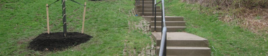
12.
S. 15th St. Steps -
On S. 15th St., descend the 26 steps along left side to Clinton St. At Clinton, descend 60 steps to the footbridge over the Norfolk Southern Railroad.

14.
S. 15th St., Cont. -
To the right is the former Polska Szkola built in 1898. Continue down S. 15th St. one half block to Breed St. A couple of doors down on the left from the intersection is St. Adalbert Church. This is one of only two churches on the South Side in operation since the consolidation among Catholic parishes.
15.
Breed St. -
Make left and walk one block along Breed St.
16.
S. 14th St. -
Turn right but keep to left side of street.

18.
Uxor Way -
At end of walkway, make left on Uxor Way.
19.
Breed St. Cont. -
Make right and return to Breed St. Continue to its end at S. 12th St.
20.
S. 12th St. -
Be careful as you cross S. 12th St. Make right and walk 20 feet to Mary Ann St.
21.
Mary Ann St. -
Make left and continue to end of street.
22.
S. 11th St. -
Make right and walk one block
23.
Freyburg St. -
Make left and continue to S. 10th St.

26.
Windom St. -
Continue on Windom St. past row of houses on your left. View Cupple Stadium, South Side and downtown to your right.
27.
Lauer Way Steps -
About 100 feet past last house on left are Lauer Way Steps. Make left and climb the 83 steps to Newton St.
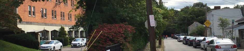
28.
Newton St. -
Turn left and walk along Newton St. Landslides are an ongoing issue throughout Pittsburgh's hilly terrain. Here, the city made a large investment in 2017 to secure the street after a landslide impacted the hillside.
29.
Newton St. Steps -
Continue along Newton St. and along dirt trail at its end. Keep straight and descend 128 steps to German Square, which was named after the German families who settled on the Slopes.

31.
Hartford St. -
Make left at top of steps and follow Hartford St. Notice the houses constructed below street level on left. Ahead are both St. Josaphat and St. Michael church steeples. Keep to right to descend 30 steps to street's end.


35.
Welsh Way -
Continue down Welsh Way. The Knoxville Incline, which began below on Bradish St., once climbed through the ravine to the right behind the collection of small, 1890's houses. Remnants of the inclineメs retaining walls can still be seen in the rear yards. It was the longest incline in Pittsburgh and the only one to curve as it ascended.

37.
Brosville St. Steps -
Welsh Way bends to the right and meets S. 12 St. at Brosville St. Be careful as you cross to opposite side and turn right to climb 44 steps on left side of street.
39.
Hackstown St. -
At the top of St. Michael Steps is Hackstown St. Cross to St. Thomas St. Steps, which are to the right.
40.
St. Thomas St. Steps -
Make left and ascend the 78 steps that lead to St. Joseph's Way and St. Thomas St.
41.
St. Thomas St. -
Continue up St. Thomas to Monastery St. Stay right to climb 5 steps. Look right at downtown and the rivers.
44.
Monastery Ave. -
From the top of Monastery St., make a right and descend one block along left side of Monastery Ave.
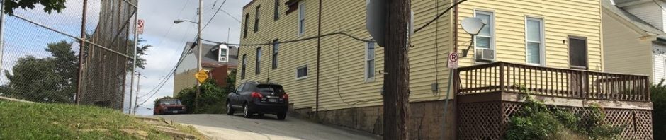
46.
* Billy Buck Hill -
Founded by Germans, the name Billy Buck comes from goats once kept in the yard of a local store. Bordered by cliffs and rugged terrain, the area is accessible by steps and a single street. According to the Pittsburgh Post-Gazette, a milk truck once flipped over while making deliveries on its hilly streets. Another time, a horse and wagon, hauling waste from neighborhood outhouses, tumbled over the hillside. The ball field on the left is at the summit of this steep hillside.
48.
Baldauf St. -
Turn right and climb 5 steps to upper sidewalk on right. Notice the houses on the left sit below grade, a feature seen in this steeply sloped neighborhood. The lower sidewalk is their only point of access. Continue to the end of the street. Just past 1929 Baldauf, on the left, is a set of steps. Descend the 10 steps to Oporto St. Steps.
49.
Oporto St. Steps -
Turn right. Begin descending the 115 steps to Roscoe St. To the right of the steps was the site of the Sankey brick yard that was active in the Slopes until the 1950s. Many a yard in the slopes has a stash of Sankey bricks buried under the soil.
50.
Roscoe St. -
At bottom of steps, cross lane and make right on Roscoe St. Ascend 9 steps on left side. In a half block is Crossman St.


53.
South Side Park, Saber Way -
Make left and walk down Saber Way into park. Serpentine Steps are on your left before the parking lot.